8/22/18 Jeff and Brad did Corkscrew Pass, Hurricane Pass, Poughkeepsie Gulch and lower Engineer Pass.

CBE4673B-8B54-474A-87A4-F278792DE6B1949A594E-4A0B-4659-99A8-8892B7BD069C9EDBBE0F-3F96-464D-919A-155711103E0040C9E373-9B28-4EB7-ABFA-F504085B9E823FA1BCDC-9F44-4D67-9C6E-52CF278B6456439C5ACC-BA55-4F06-9E5C-80ADB9106112024BC5B3-216B-445B-9F1A-3C33BBAC22F431A18763-6D40-4D5C-BEBE-8B76555A0A43A259C145-AFE7-46A2-9262-EAA2949FB98E170951E5-9BAC-4978-8E94-C911A3FEF21E4D54B3C1-AF47-42DF-A731-69455934342FBC1F5F68-B227-4F8B-B4E1-732315CED068C258A80C-194F-4C76-B5FB-BBF63C9E3BFFF9560CB3-3CEA-45CB-9E07-3EC868B03122B135EFA8-DD65-45D7-A9F4-05691CAE4F6DBB3246CC-C1B5-4577-944B-94B52A711057E3FAE03A-2AE3-47A0-B02E-F2675C7037C5C3194FB7-F7AB-47C9-8BE5-E1068B5E60E97B0661C7-0439-4AFF-BC74-C4CF141DC008C54E392F-0CA9-486E-92EF-5E1BAB046992C66093C3-C934-4522-8FAD-698087CD27A9796C6987-FB8D-4EA9-BEB6-A84ABB1311C78216B750-2F0B-4398-9703-8E605242FC4BDA667DA1-2E93-4CC1-AB33-1BB89445AC6651A80E6C-C88D-4B53-BBD9-F0537D3136044081337F-926E-46DA-8910-F080046476E4BA5E5A6B-BED1-40A6-8E71-5AD483A3B7A05D346082-CC26-433B-9B3E-582201981FA1F1EC5B6B-F2A8-44D9-A553-09EA369AE5CE1764A49D-CFD5-49EF-AA0D-2D99CD899DE08E284A94-E8D1-4258-A5EB-4CA87EB99E918A84BA5E-D694-4D42-A719-E41B95C414B95249300D-BF59-4446-AB6F-CF0F99CBE5C3890D636C-E7DE-4526-A454-1CE34936CDCFE956EA33-6212-4CED-9F5F-F25D39949E959A33AF68-3EF5-435A-884D-8AC4C5AFF84BC4327C0F-19C7-4341-9215-BE5FC18F22E0B7EA1189-FE98-4550-A637-6FE4BFE55BA8E7E23561-783D-4D26-8427-192FF97FF6D56F50B6DA-1580-435F-8029-2F63ADACE370588BFEF3-DCC4-4058-B160-949EA556A353

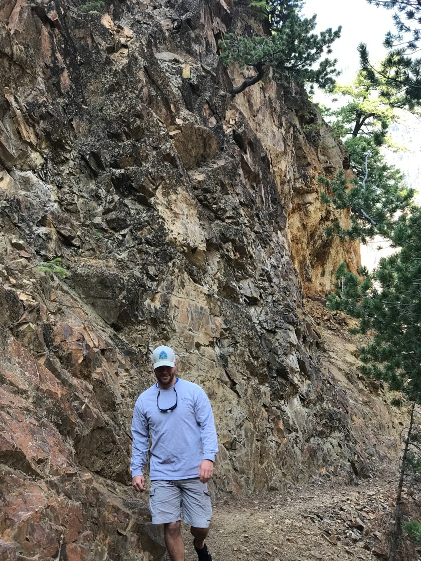
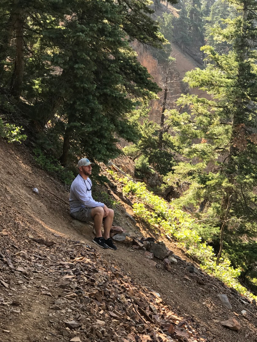
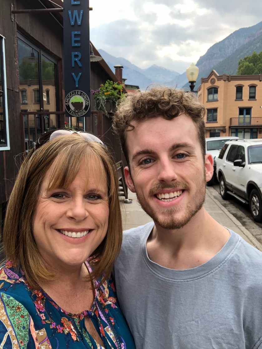
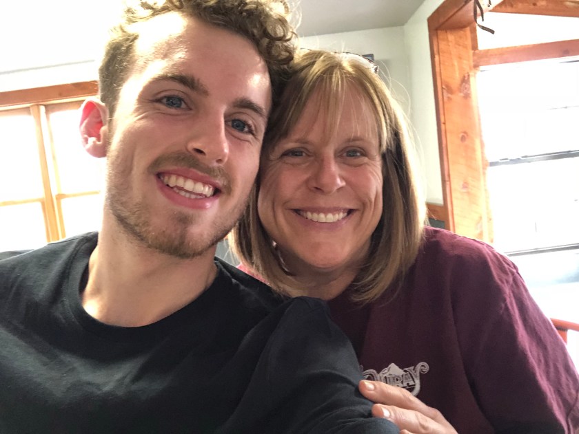
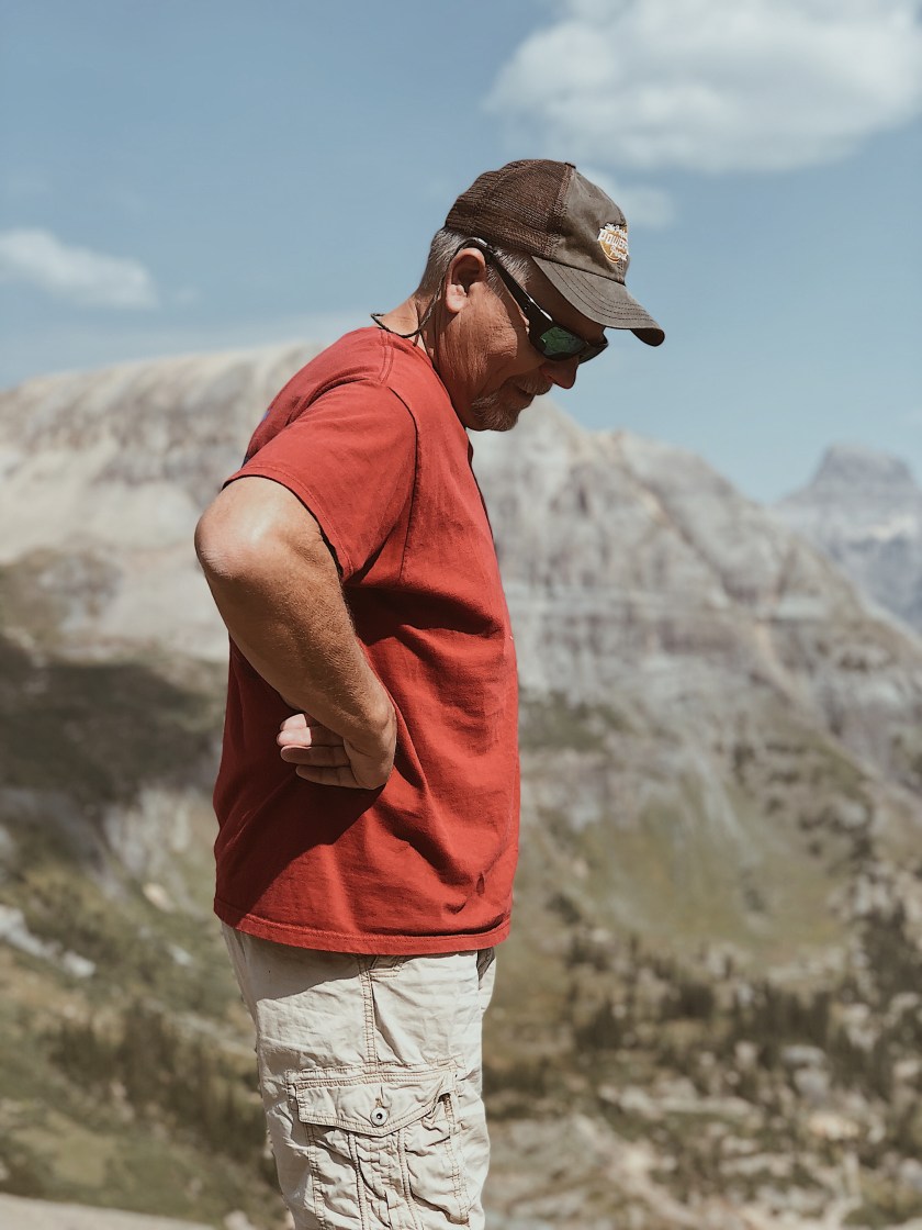
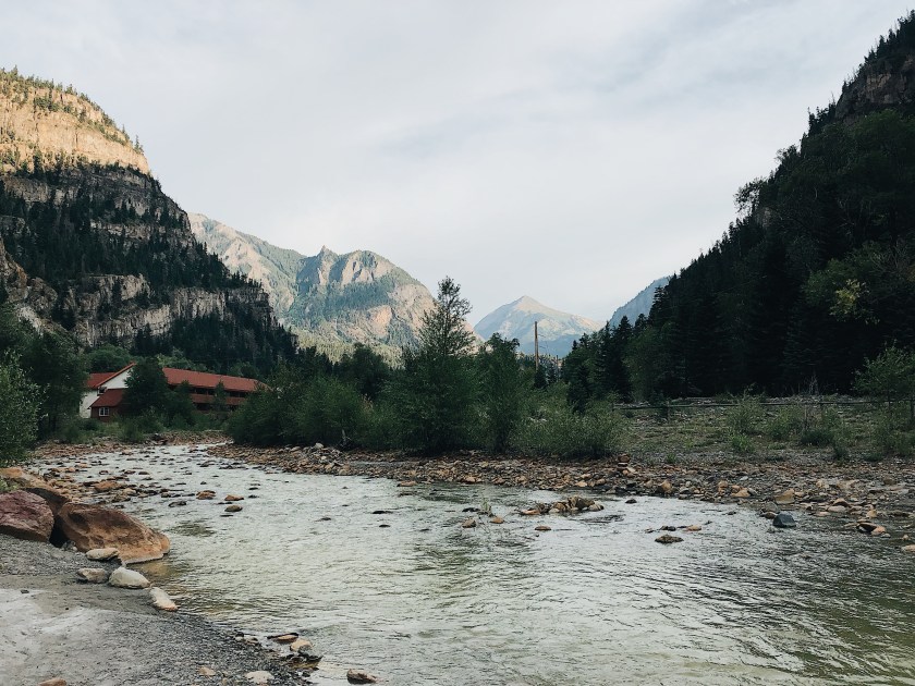
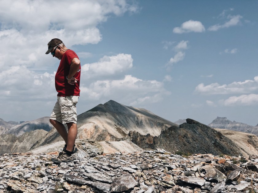
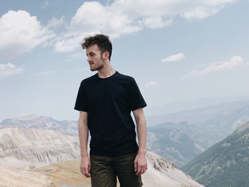
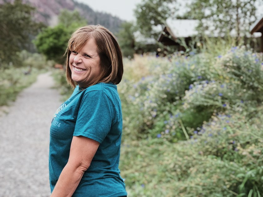
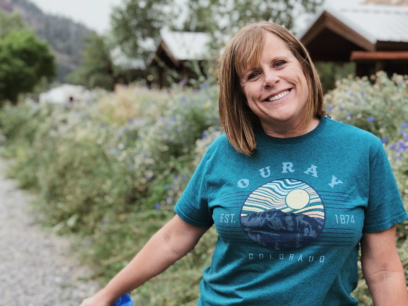
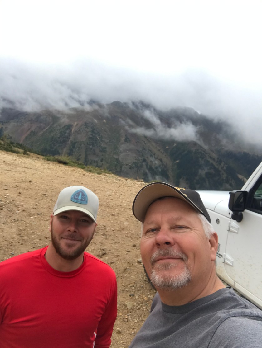
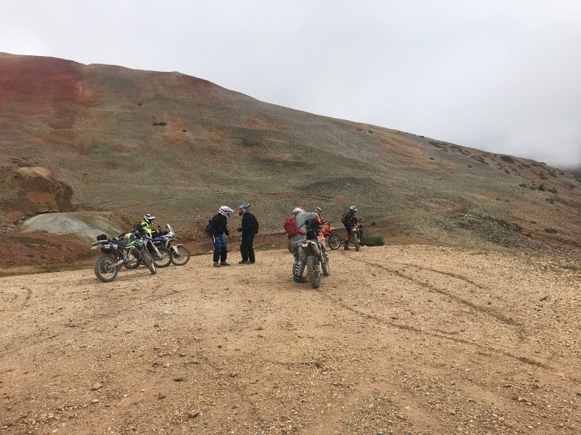
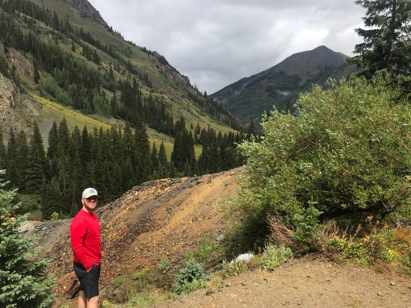
Kim and Courtney chickened out on us today so away Brad and I went. It rained off and on but it didn’t stop the Jeeps and Motorcycles today.

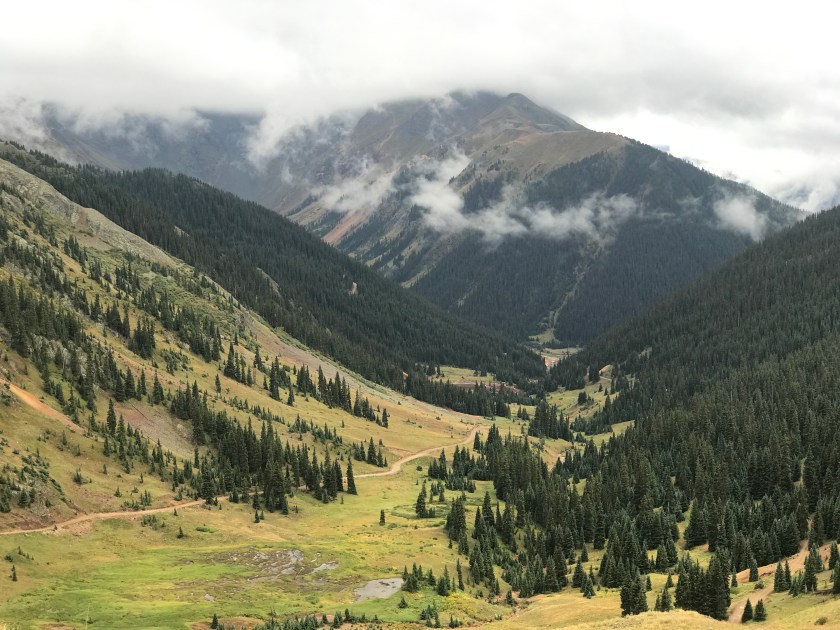
First trail was Corkscrew. It was muddy with many switchbacks and very steep incline. We made it with no problem but the motorcycles were having a hard time. Only seen one  wreck when he came in too tight on the switch back. They were doing the Colorado 500 charity run.

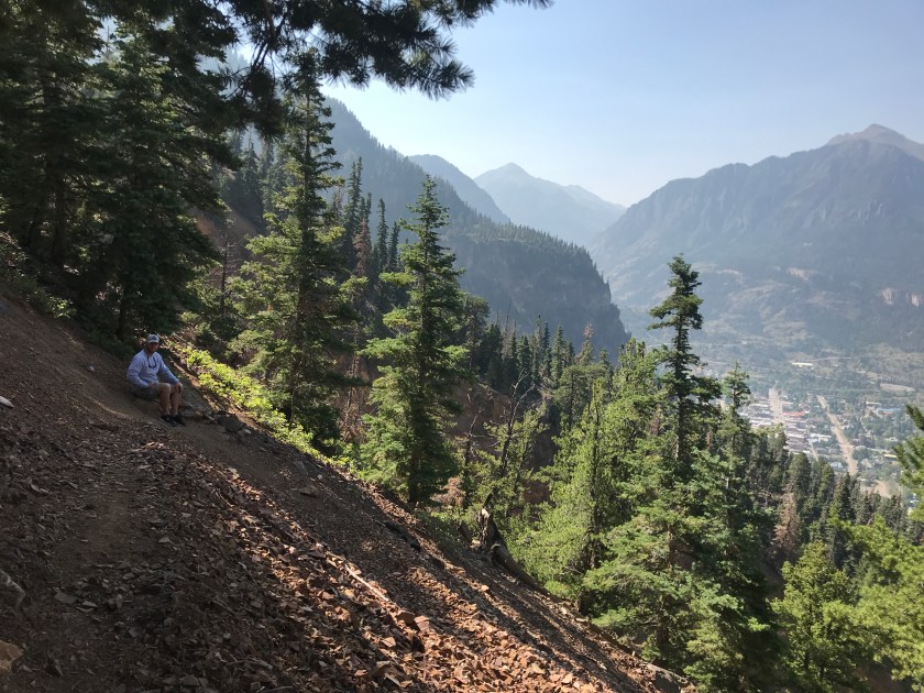
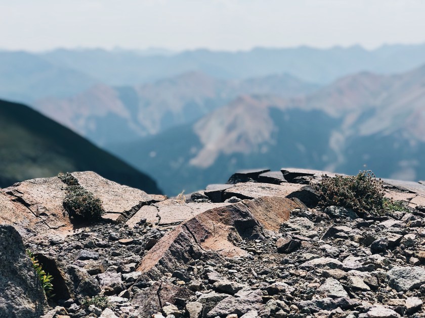
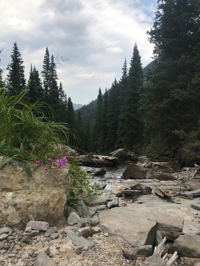
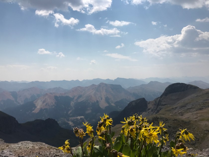
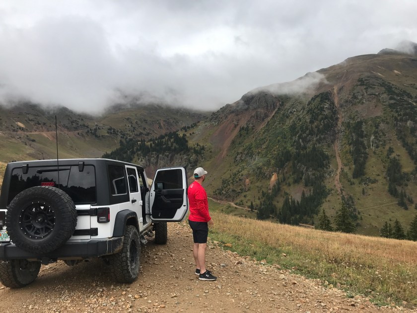
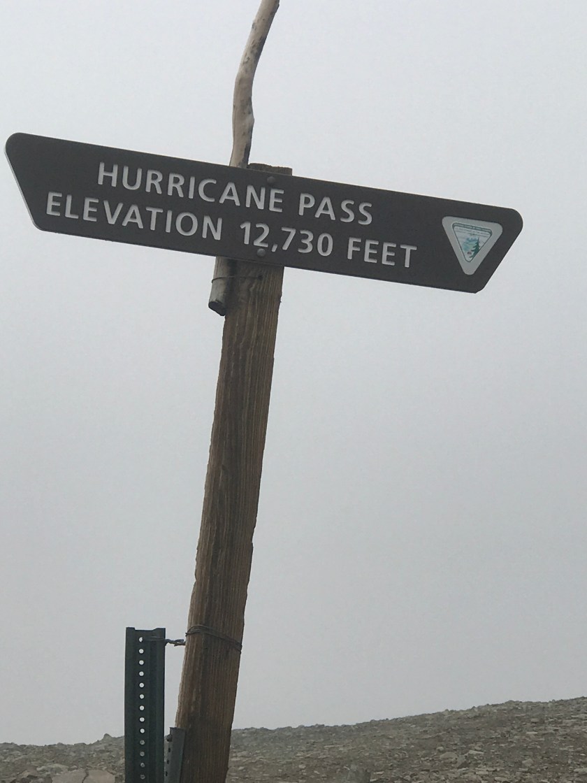
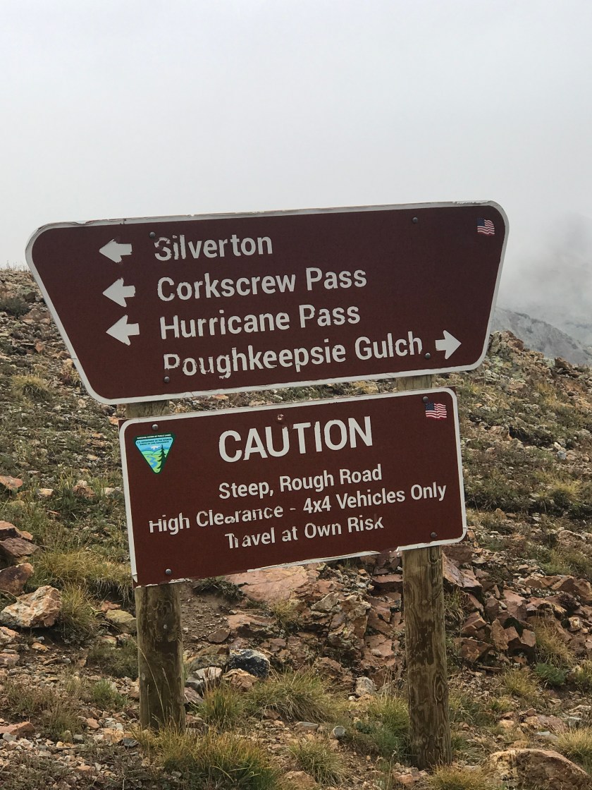
We then made it over Hurricane Pass. It was cold and raining at the top.

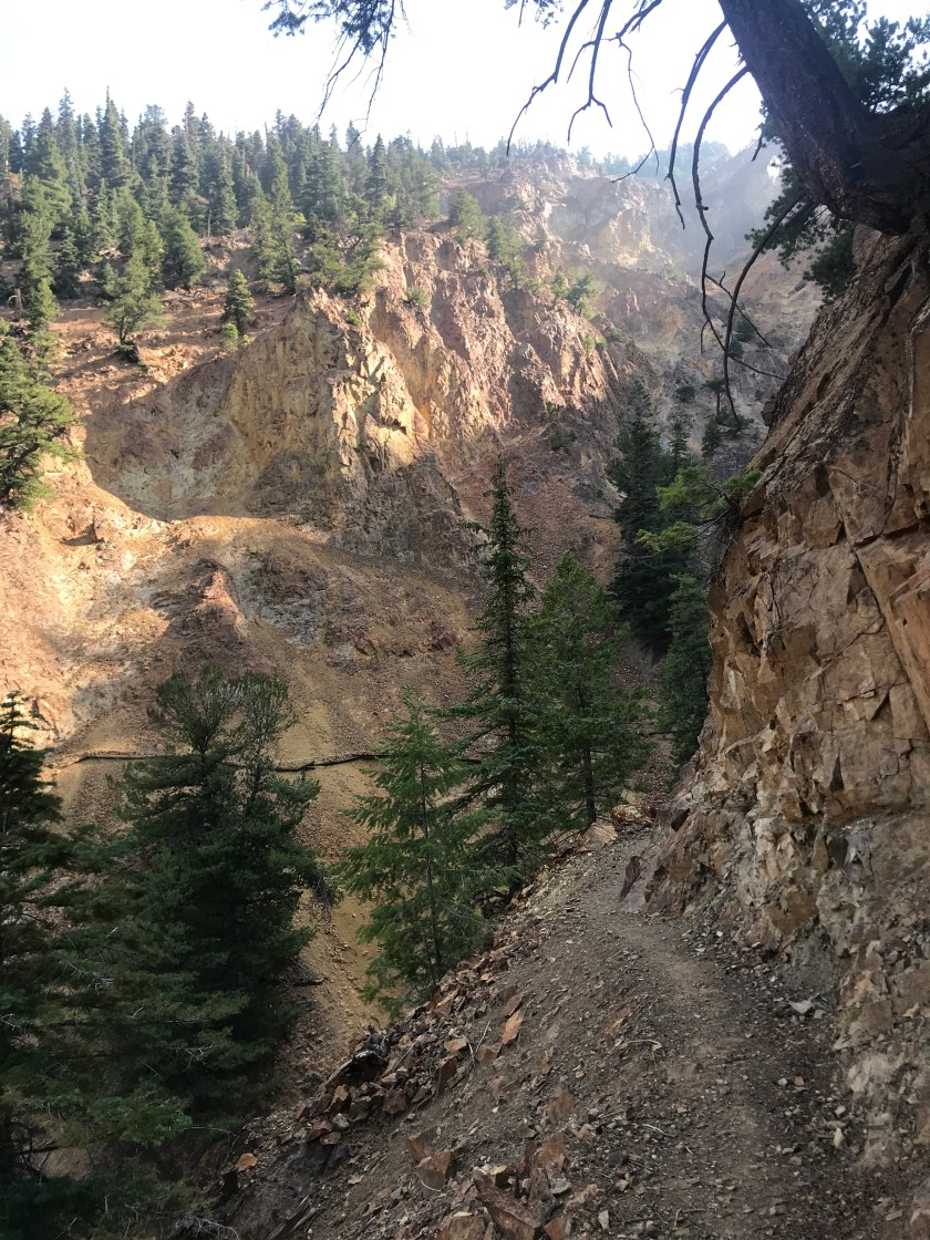
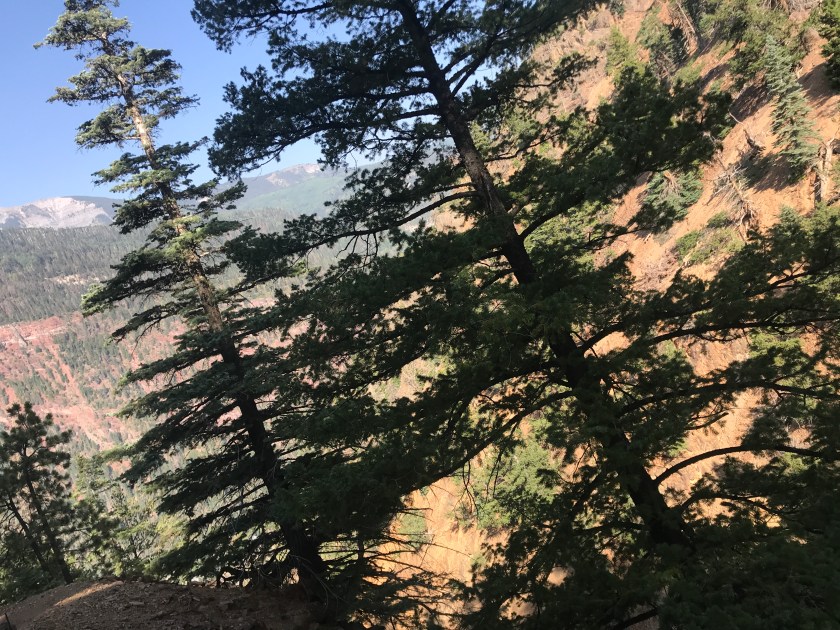
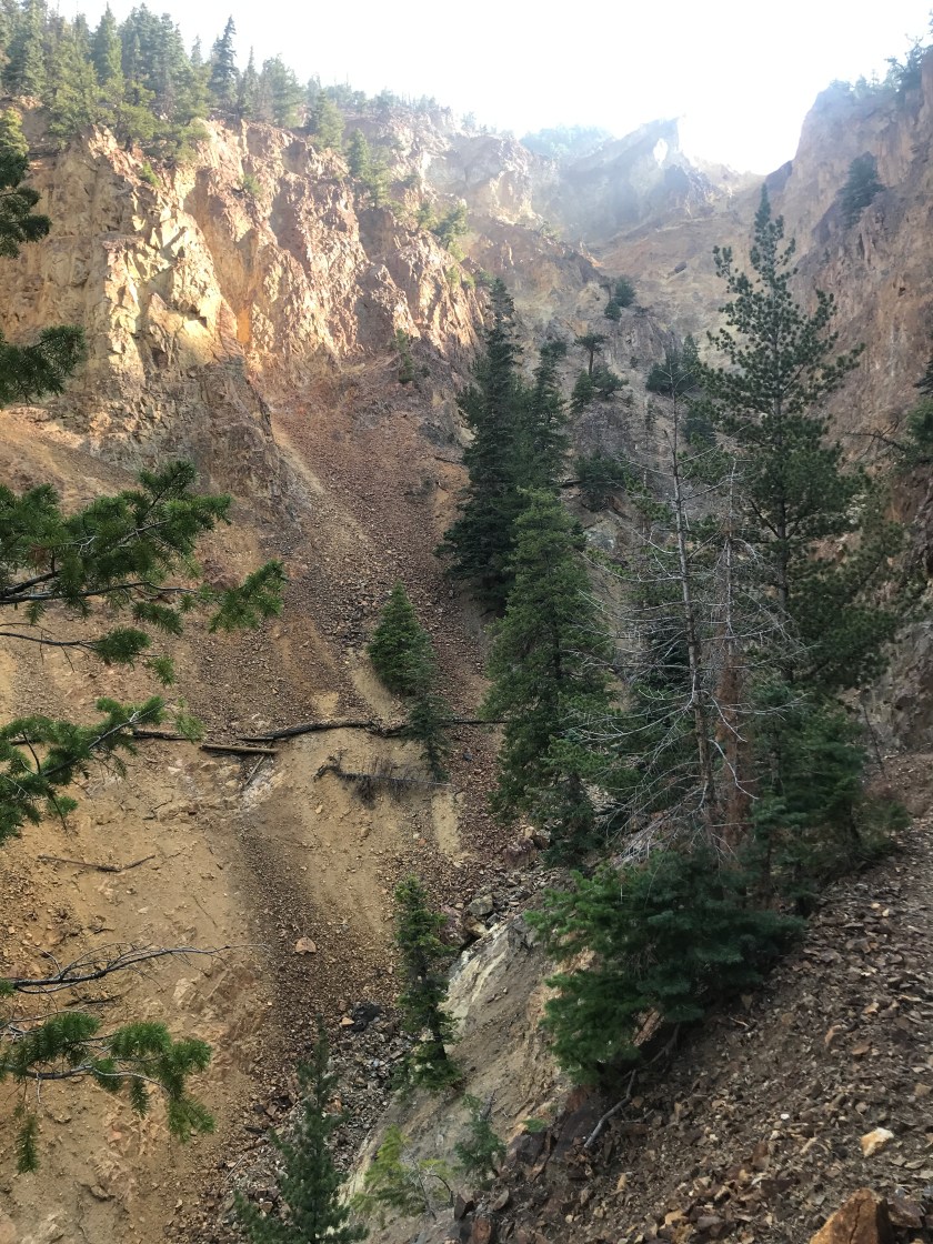
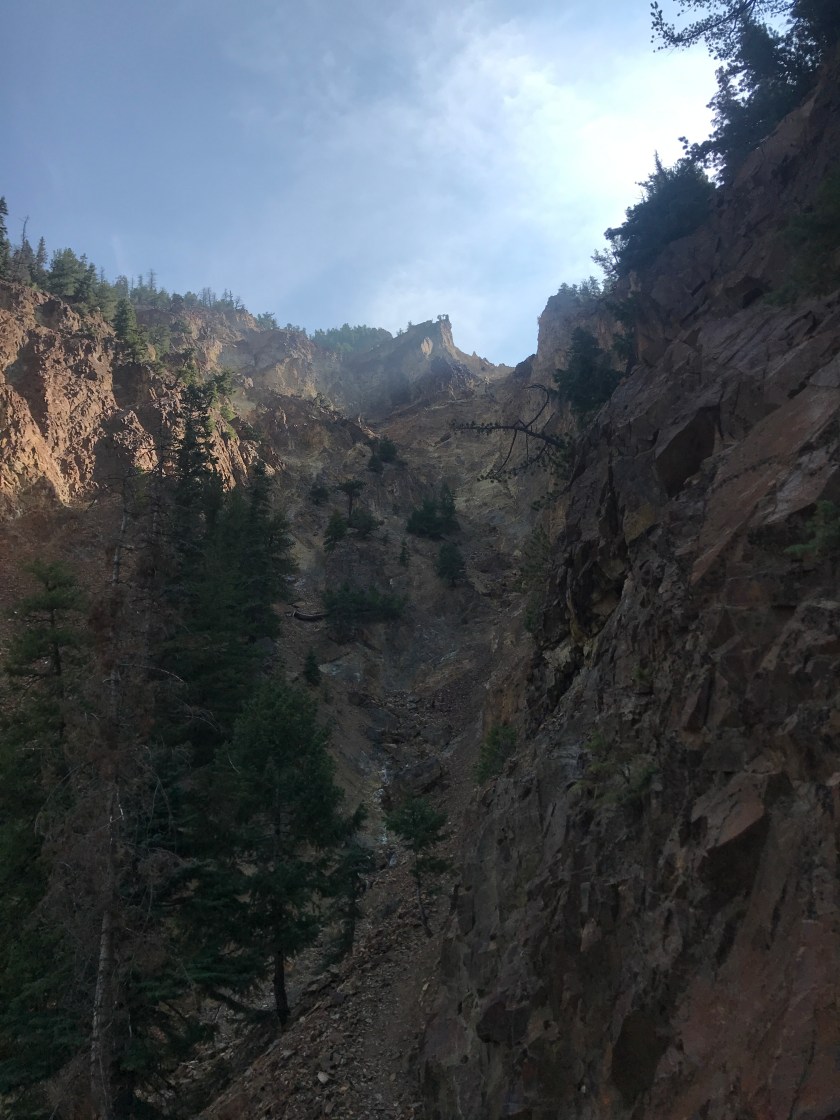
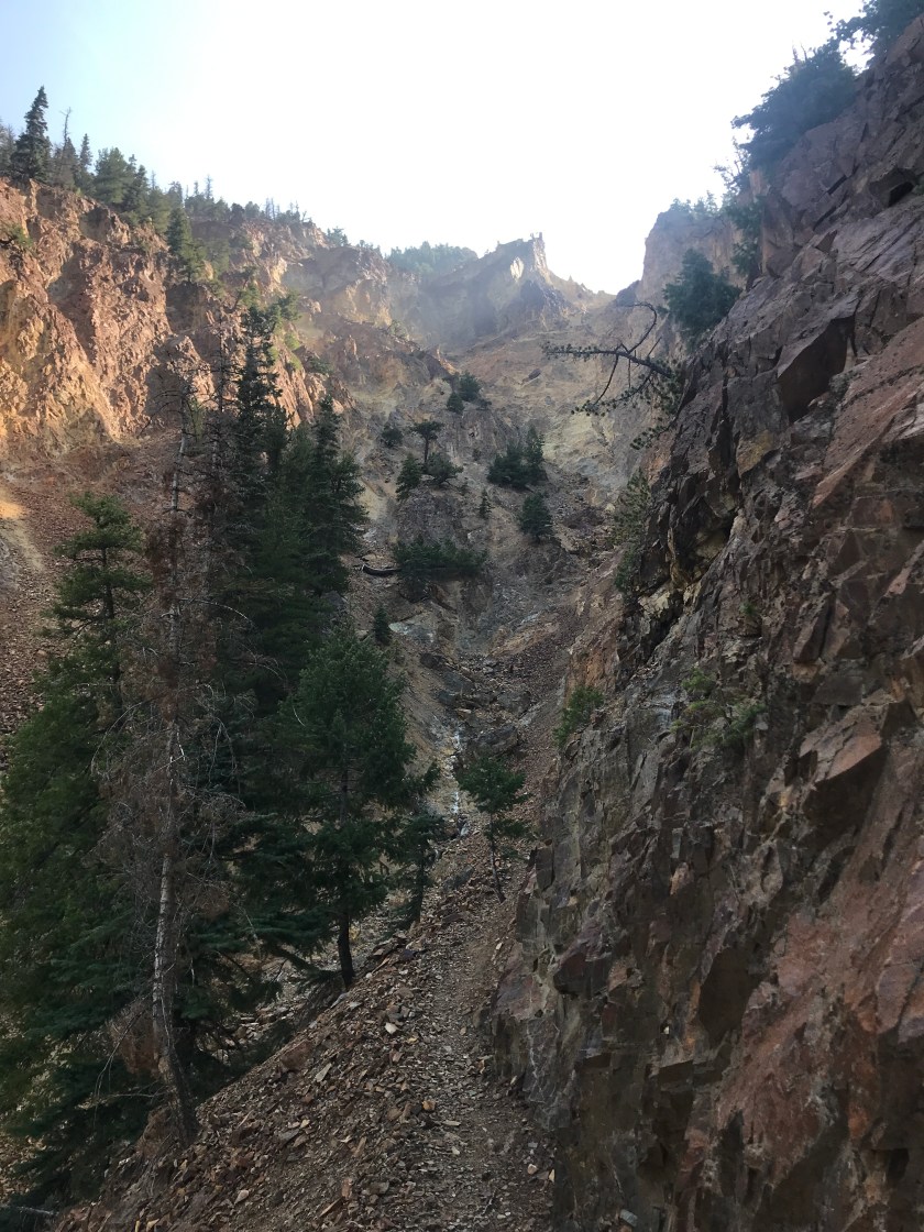
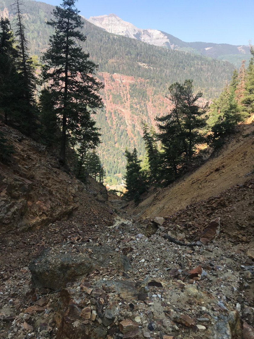
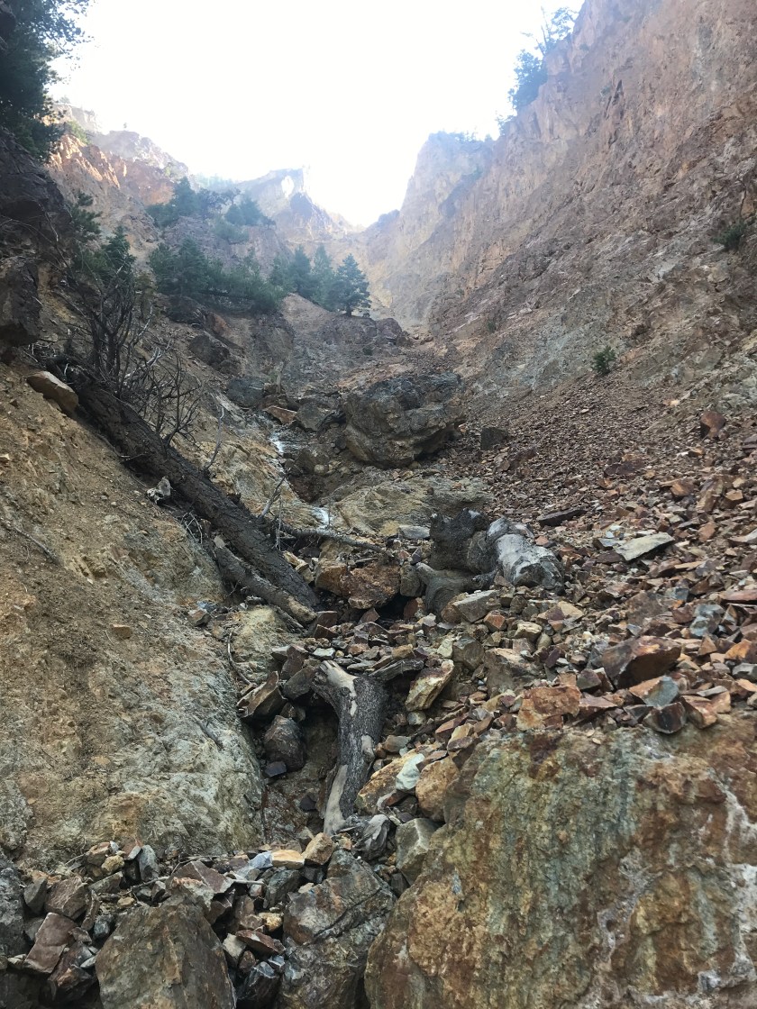
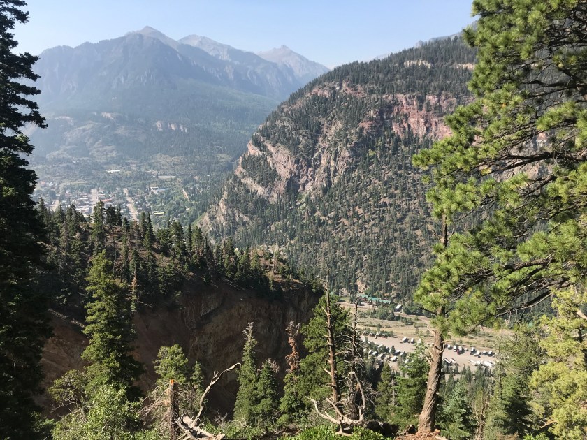
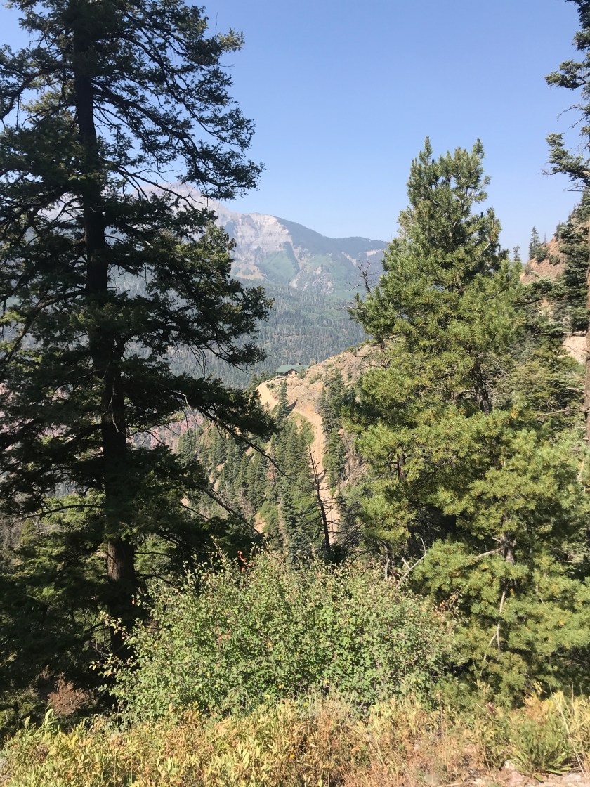
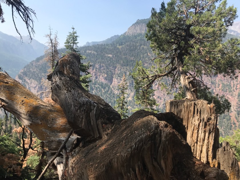
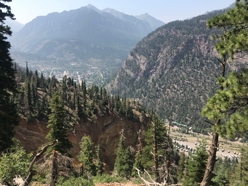
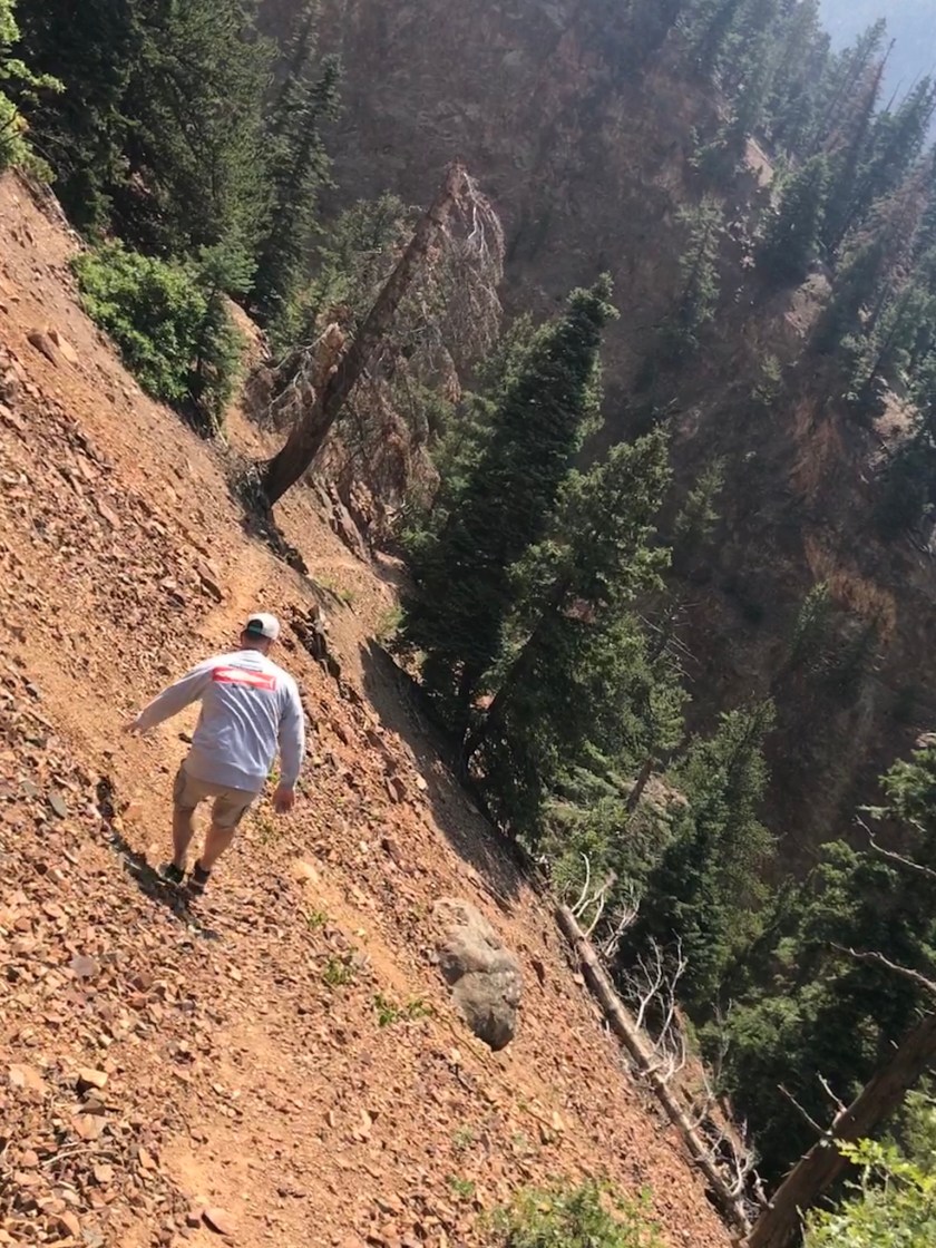
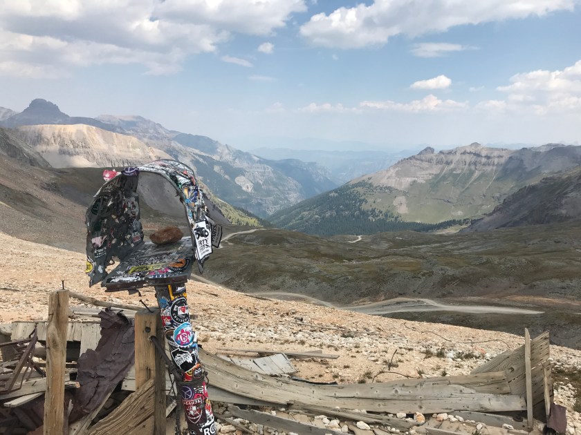
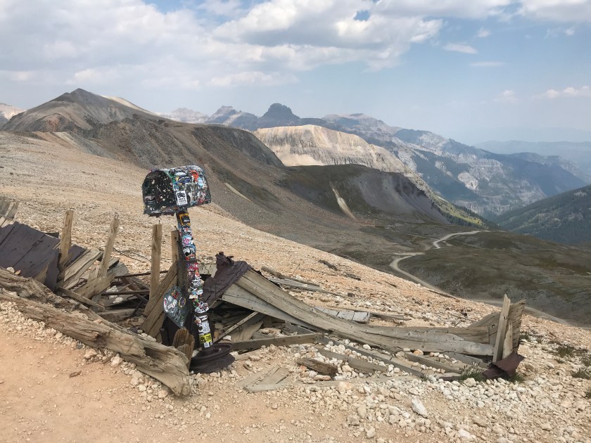
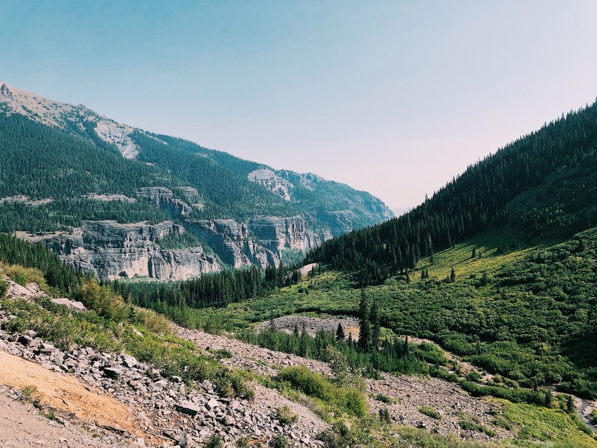
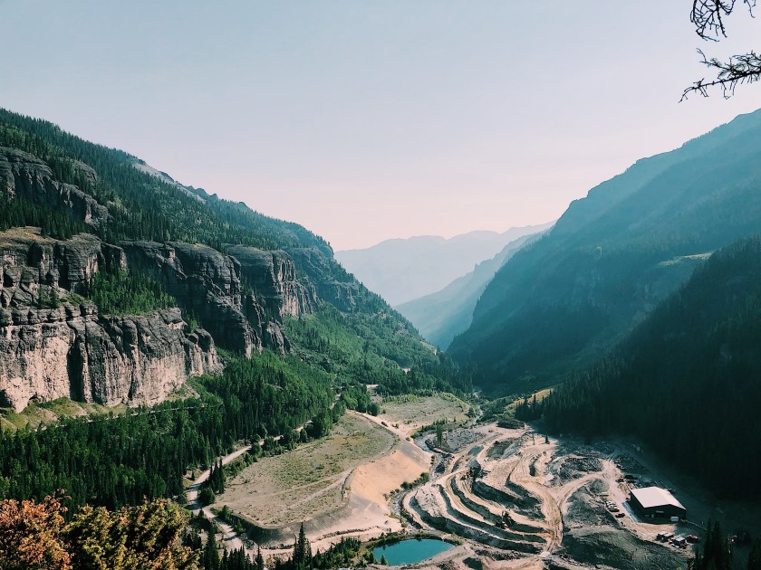
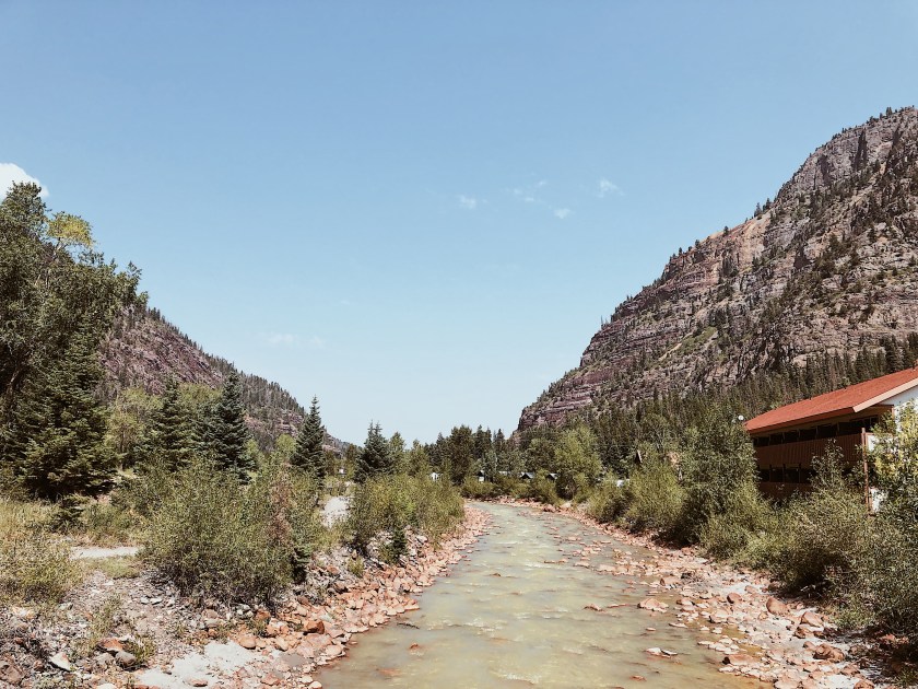
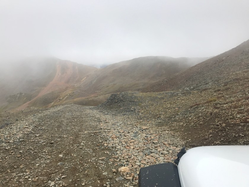
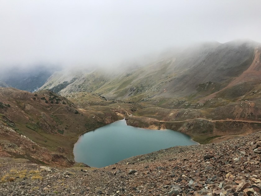
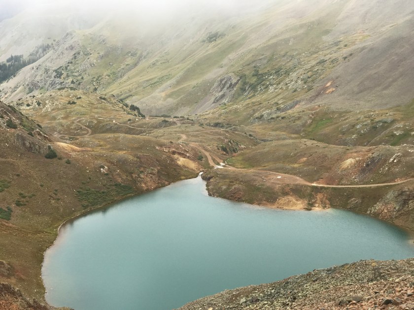
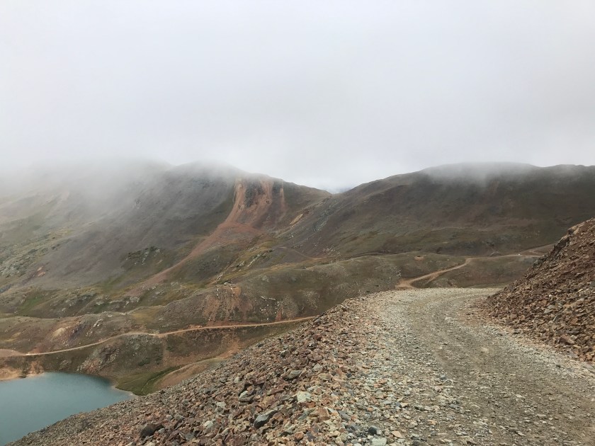
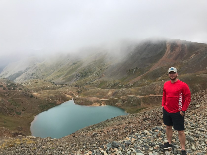
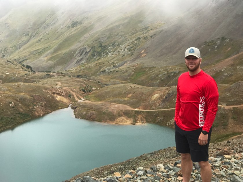
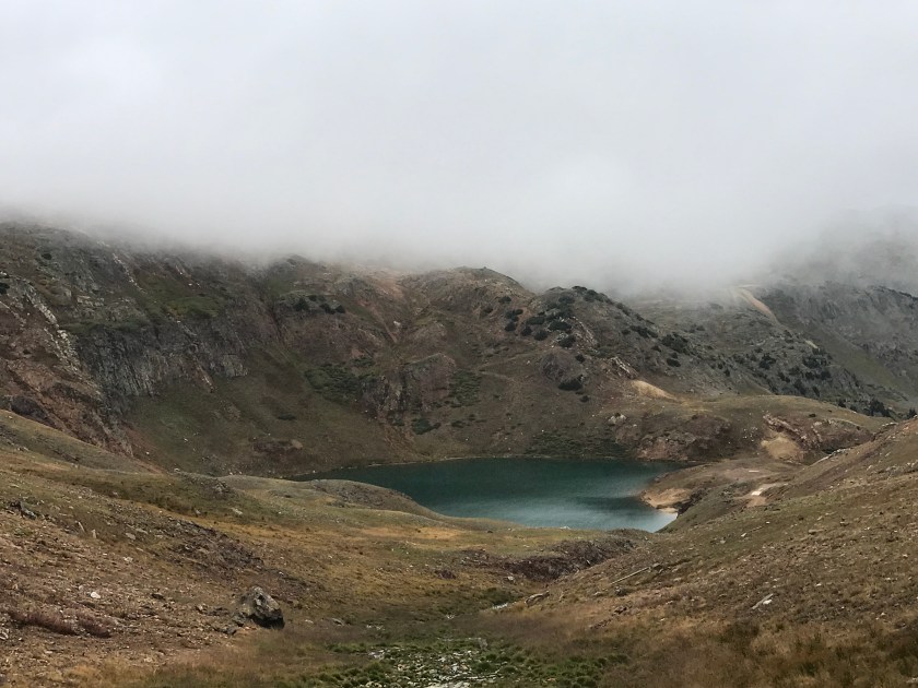
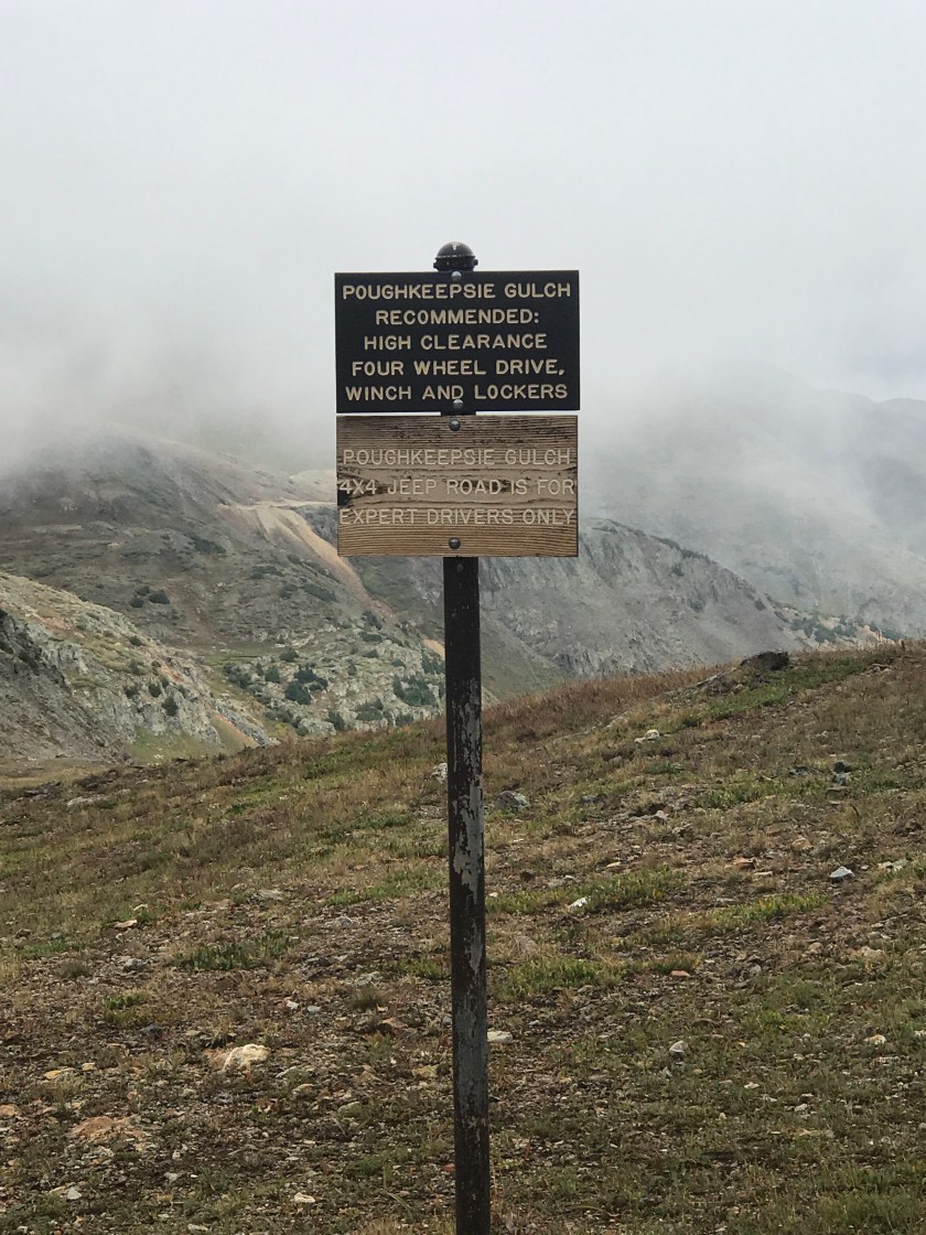
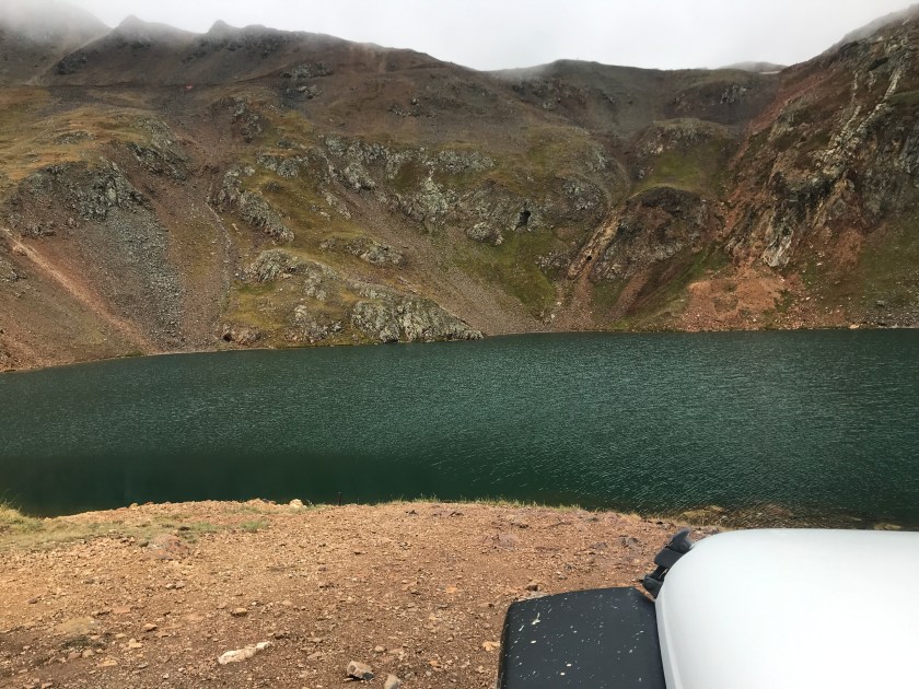
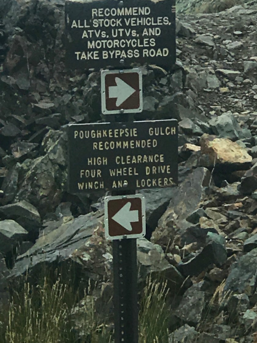
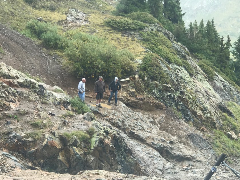
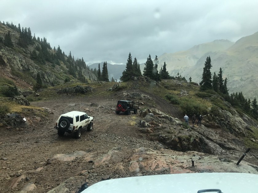
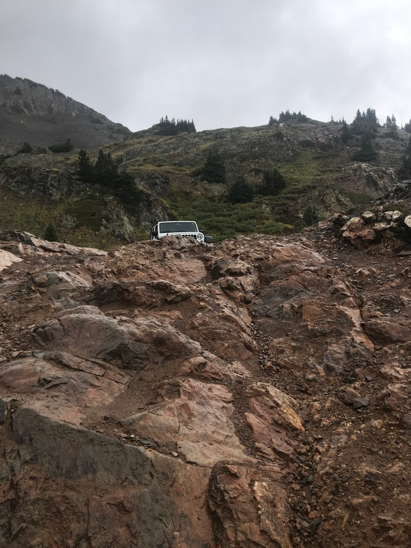
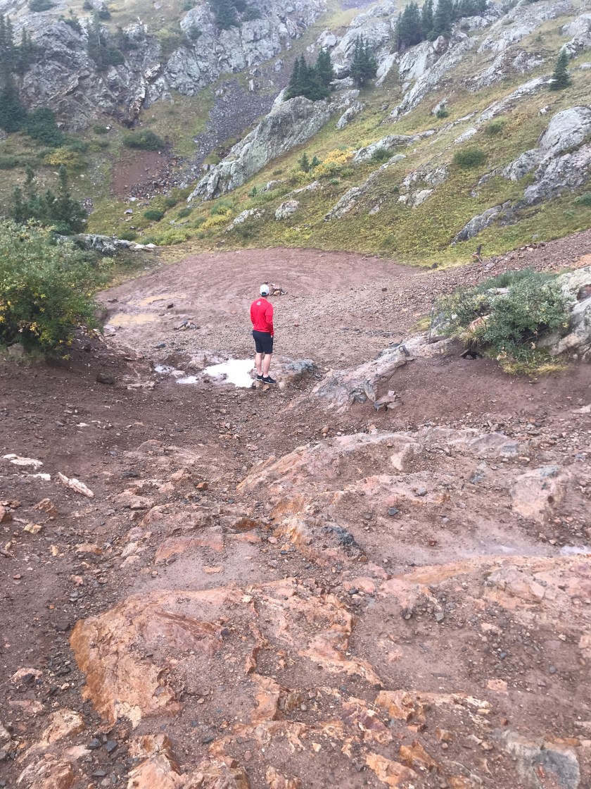
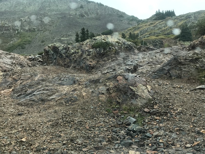
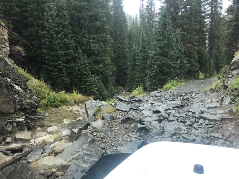
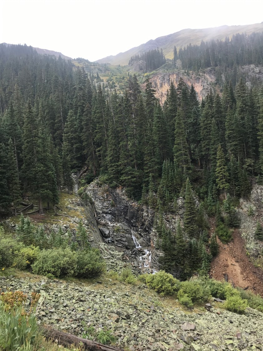
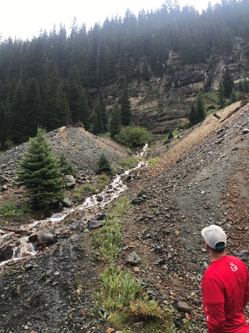
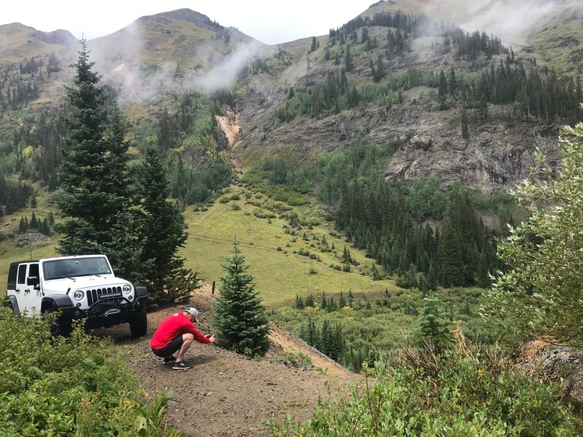
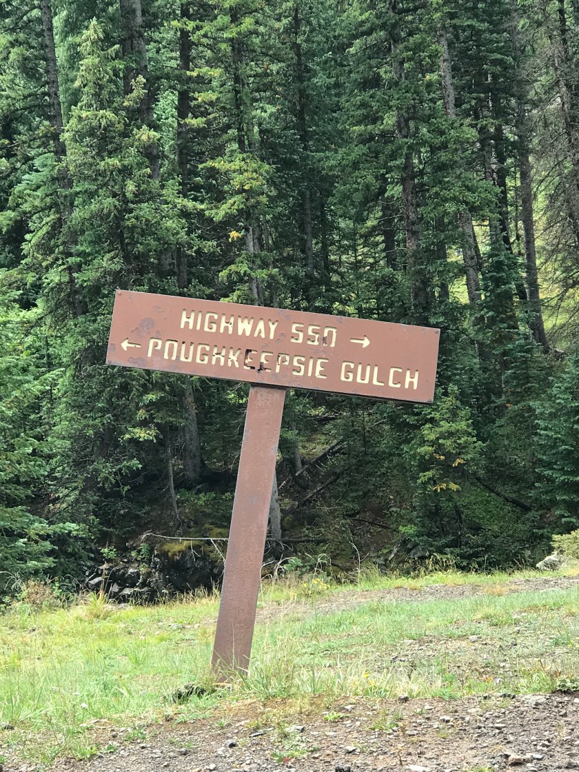
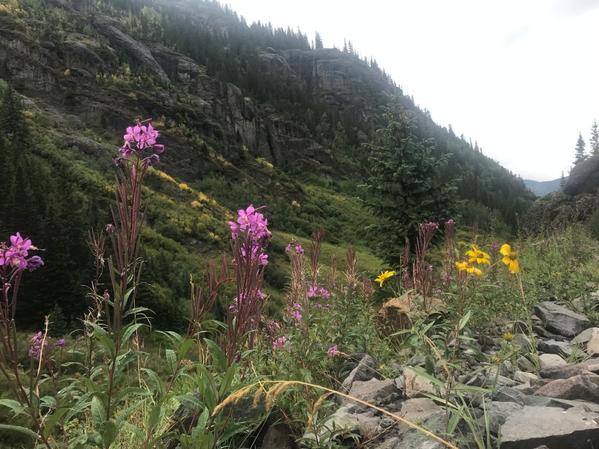
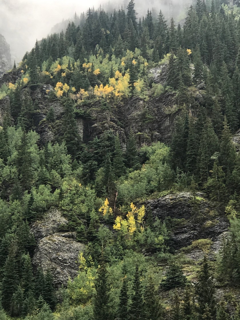
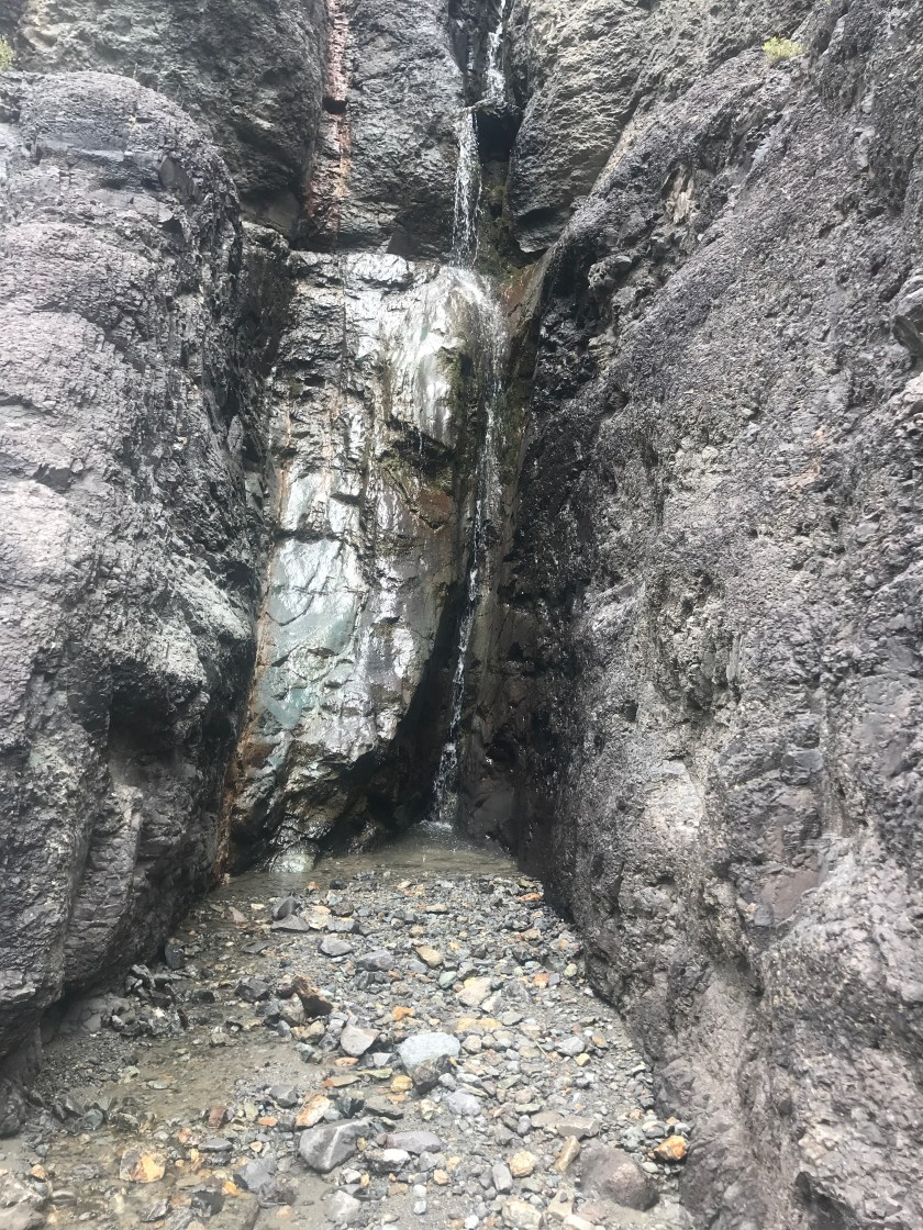
From Hurricane it was down to the famous Poughkeepsie Gulch. On the way to the wall you pass Lake Como. A beautiful clear lake that the pictures just don’t do it justice. The same goes for the wall pics. Two guys in front of us turned around and decided to go back the easy trail, what fun is that? Anyway we eased on to the wall in the rail and made it done without leaving and Jeep parts as some have done. We didn’t try to climb back up because with all the rain the rocks were very slick. We made it down the river bed to lower Engineer.

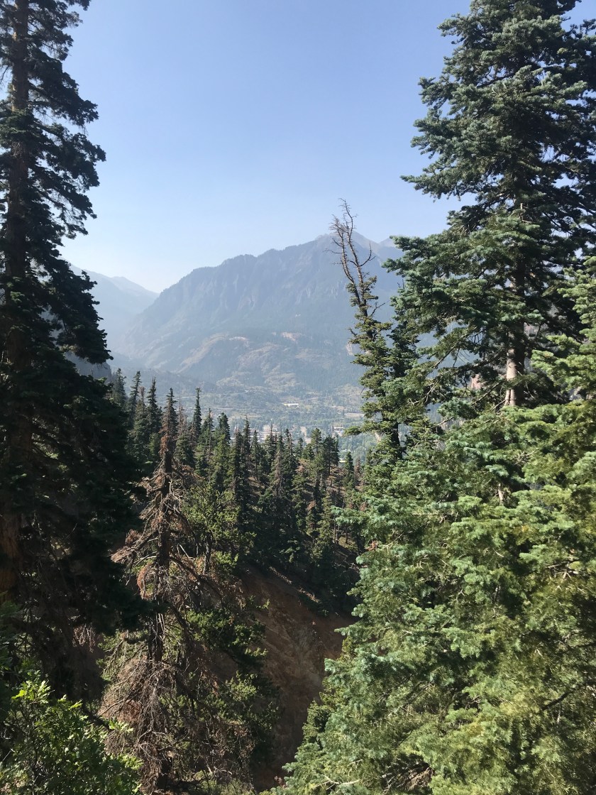
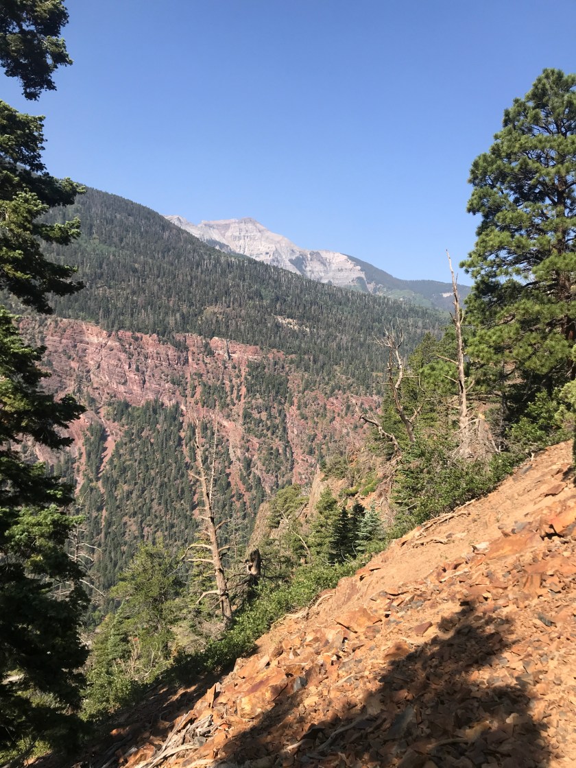
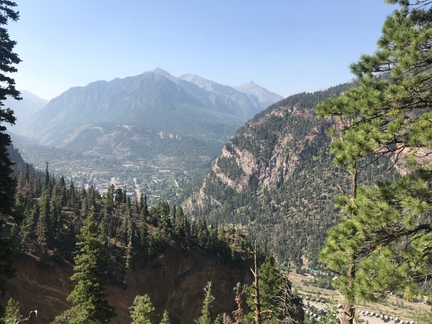
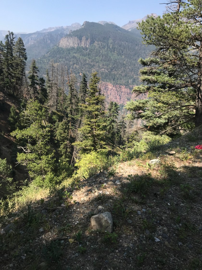
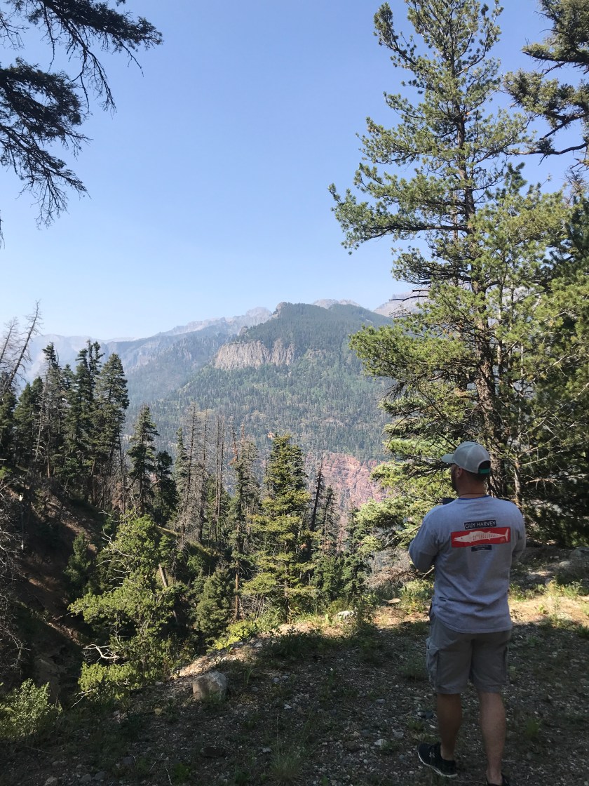
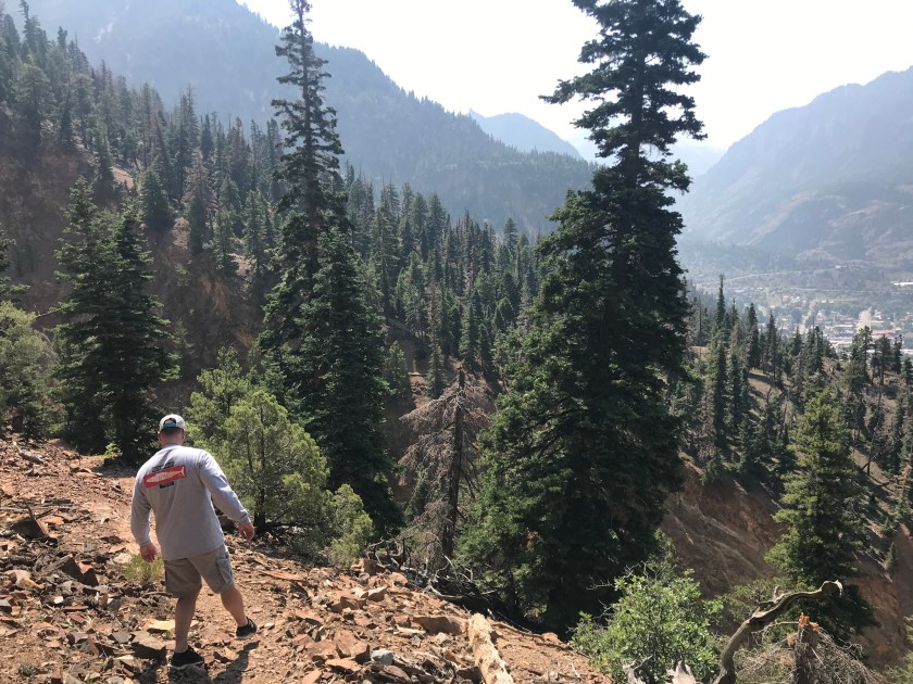
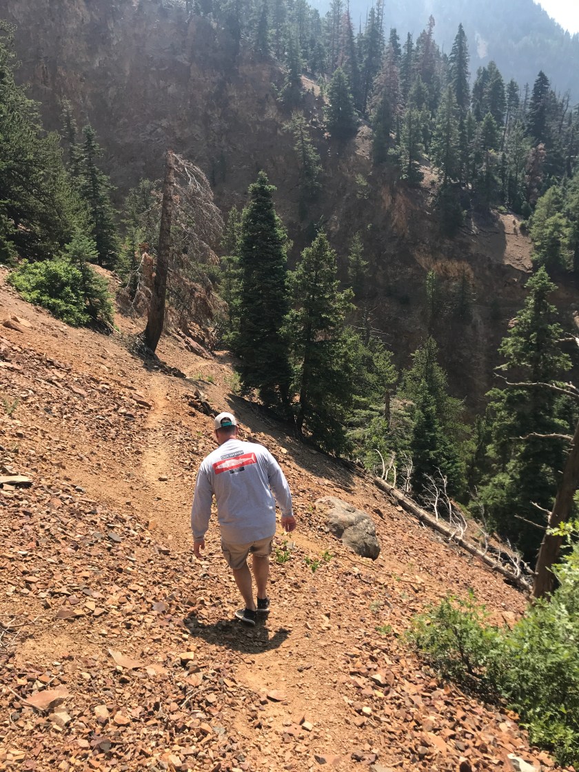
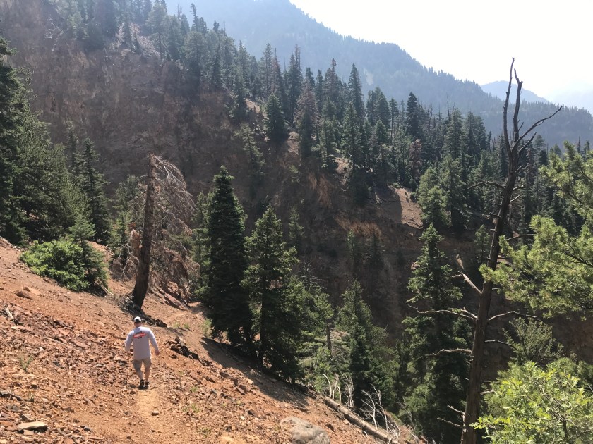
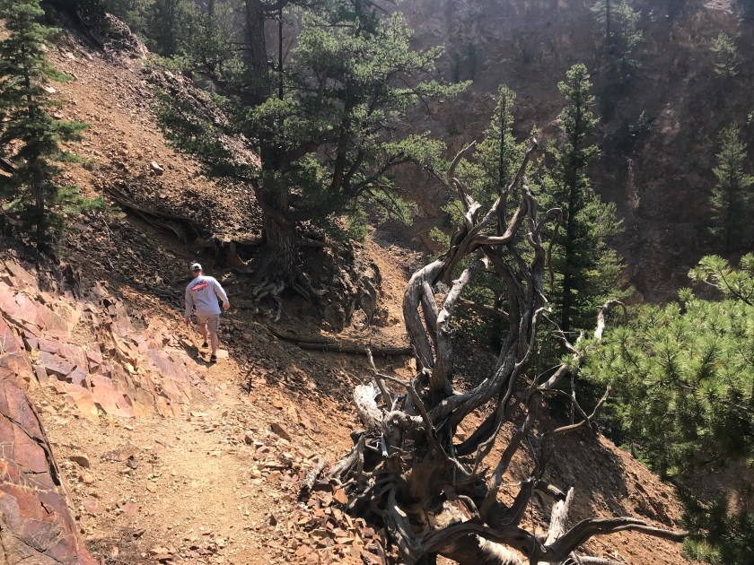
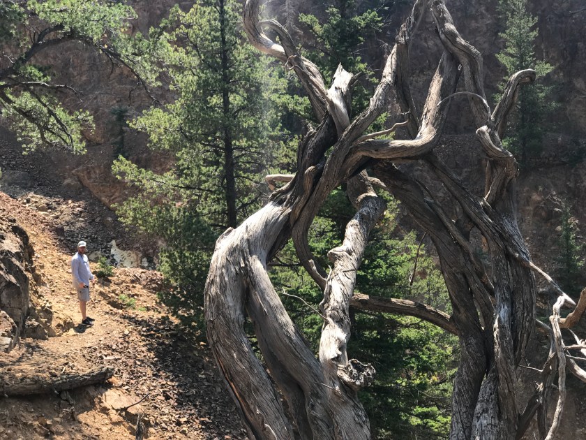
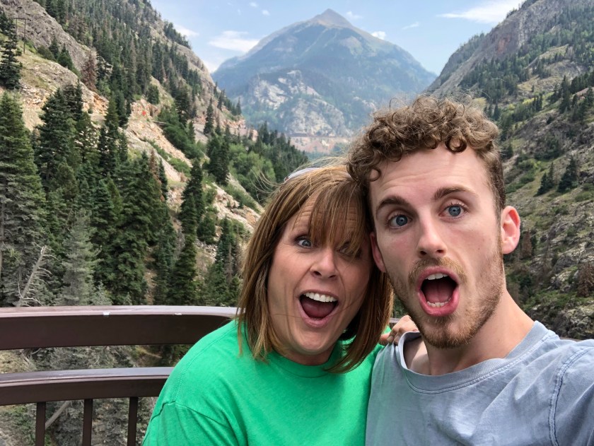
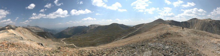
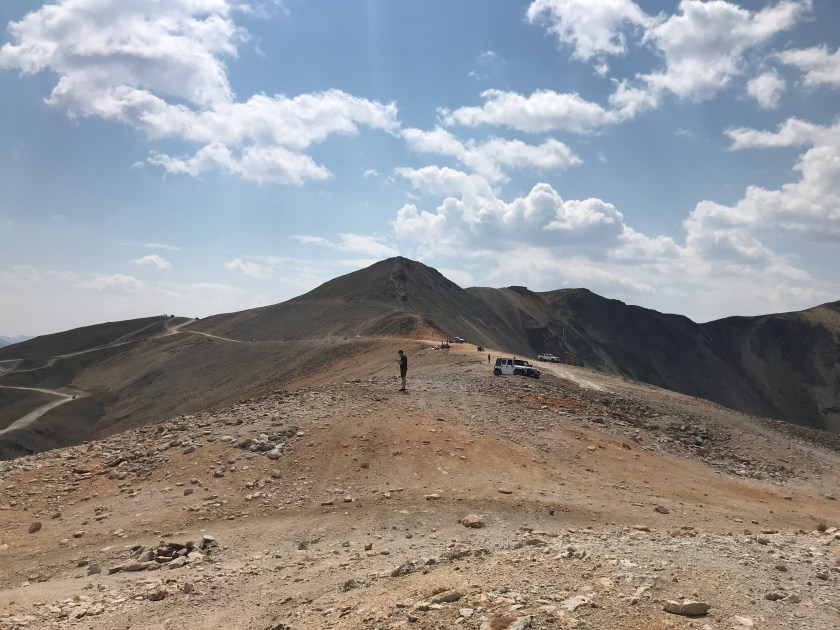
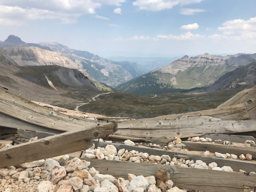
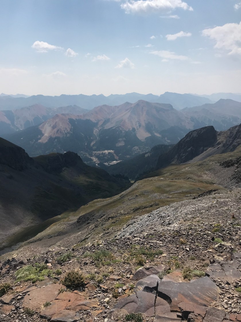
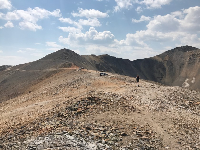
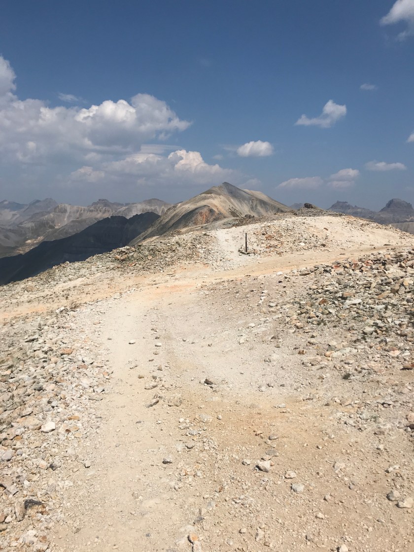
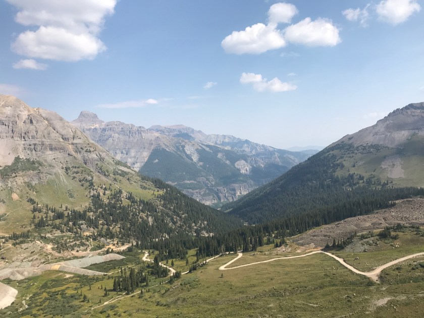
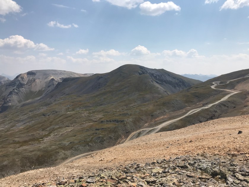
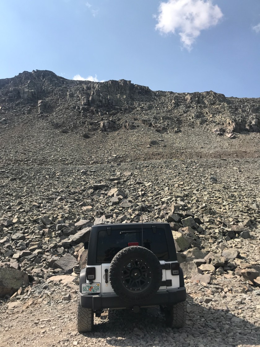
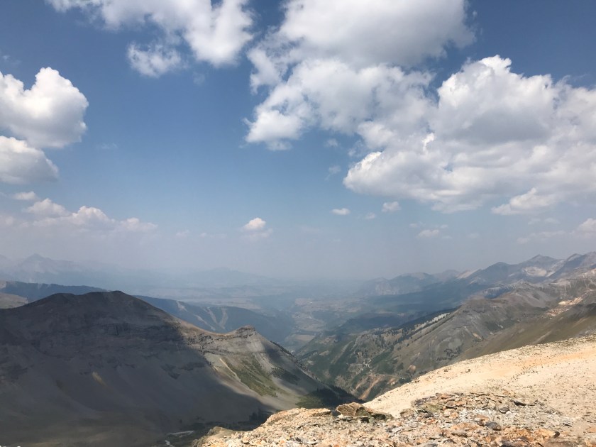
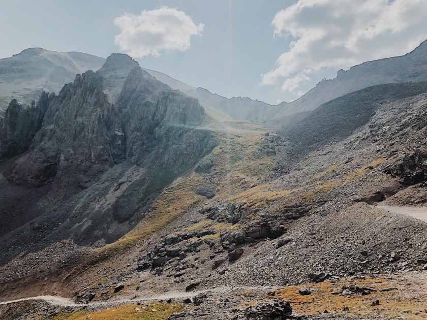
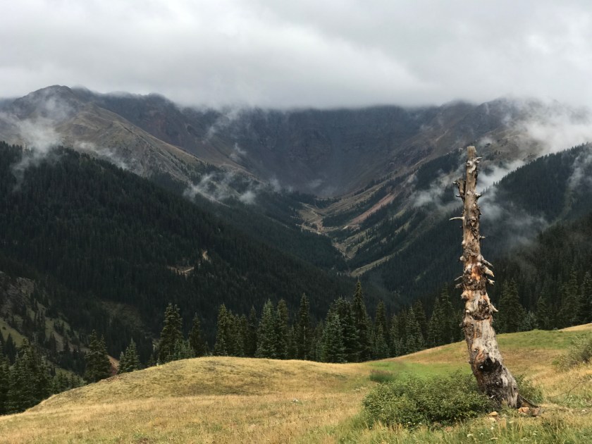
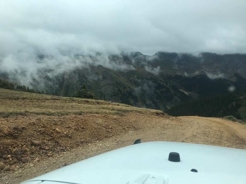
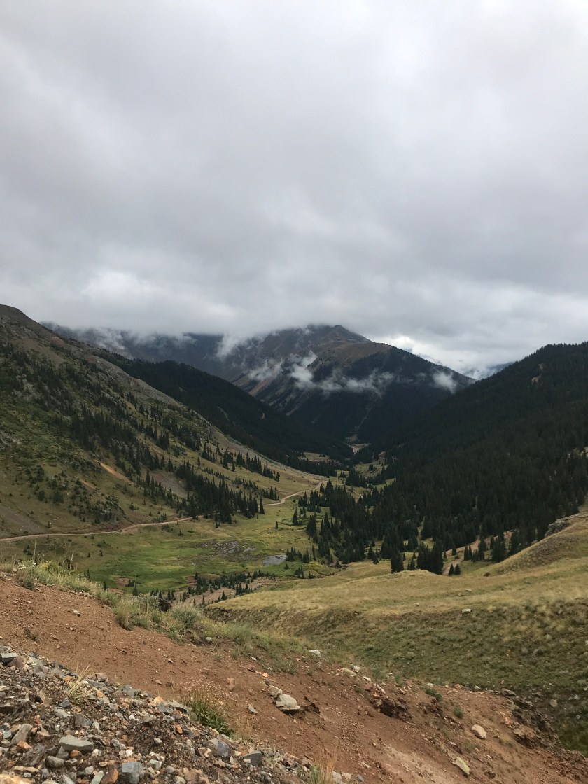
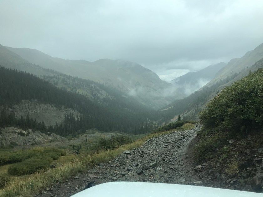
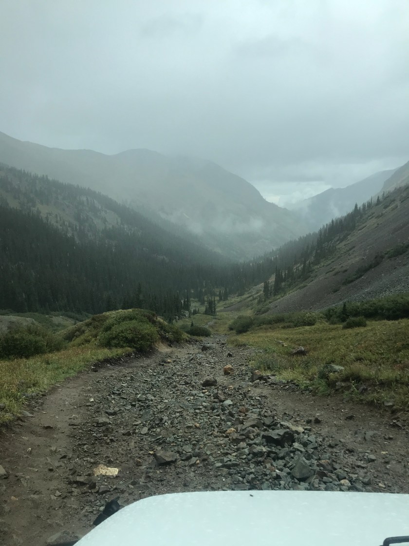
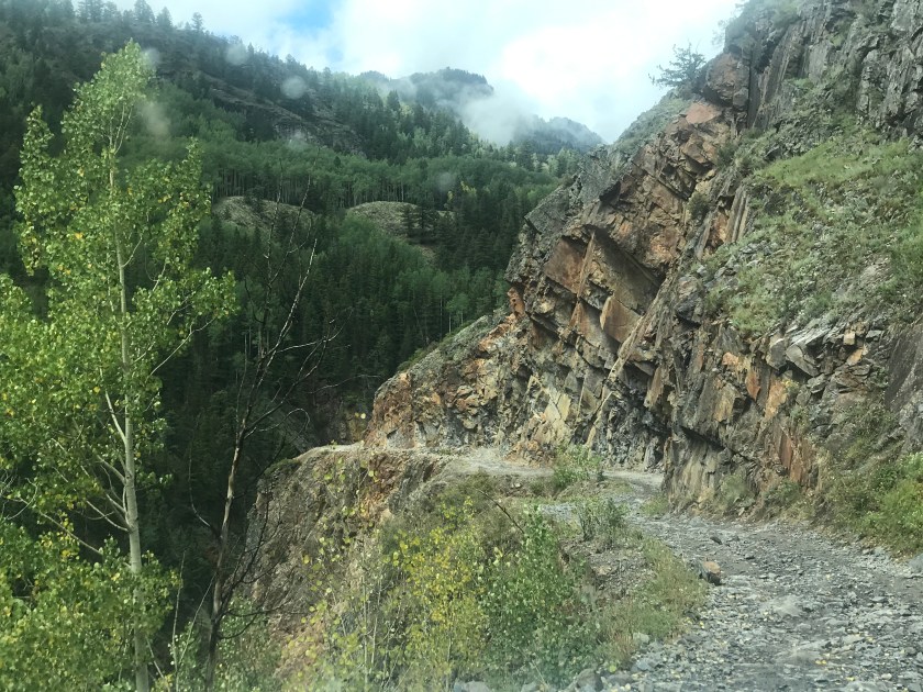
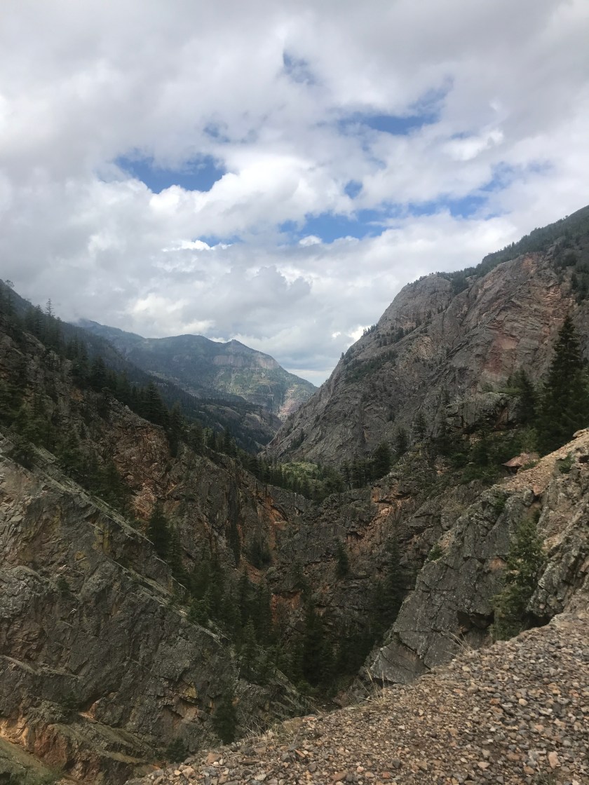
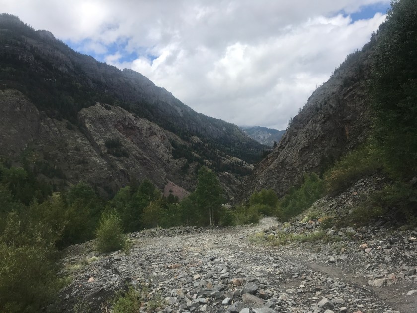
Engineer Pass is a high mountain pass at an elevation of 12,800 feet (3.901 m) above the sea level, located in the San Juan Mountains near Ouray, Colorado, in USA. It’s one of Colorado’s most scenic offroad drives. It’s mostly a first gear ride because the road is rough and rocky. It’s one of the highest mountain passes of Colorado.

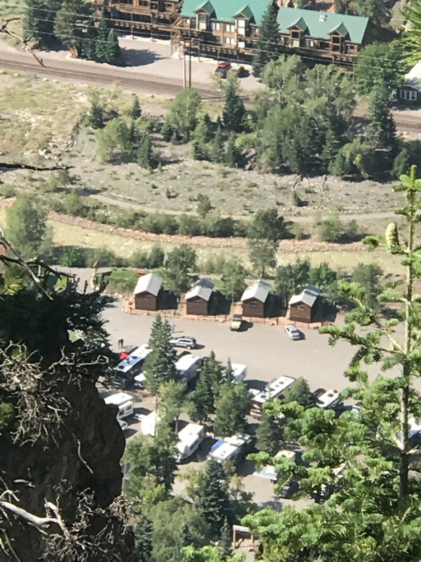
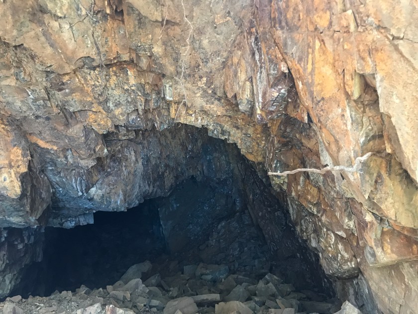
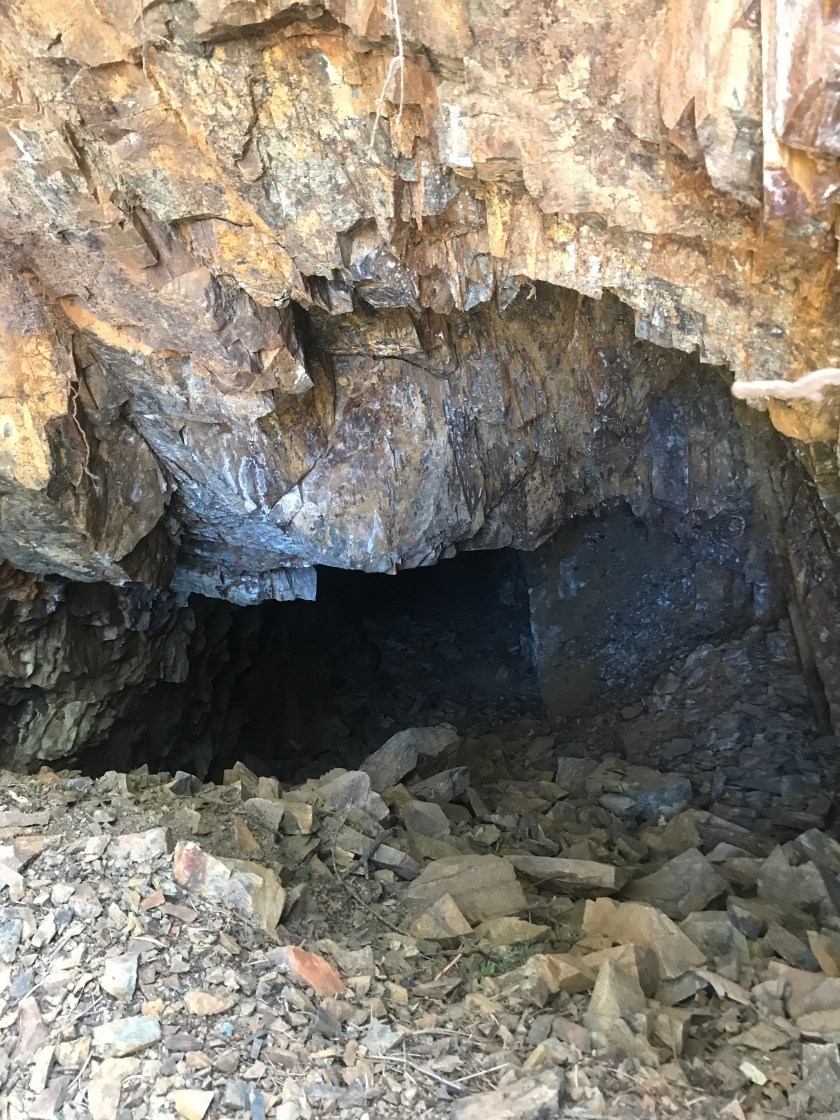
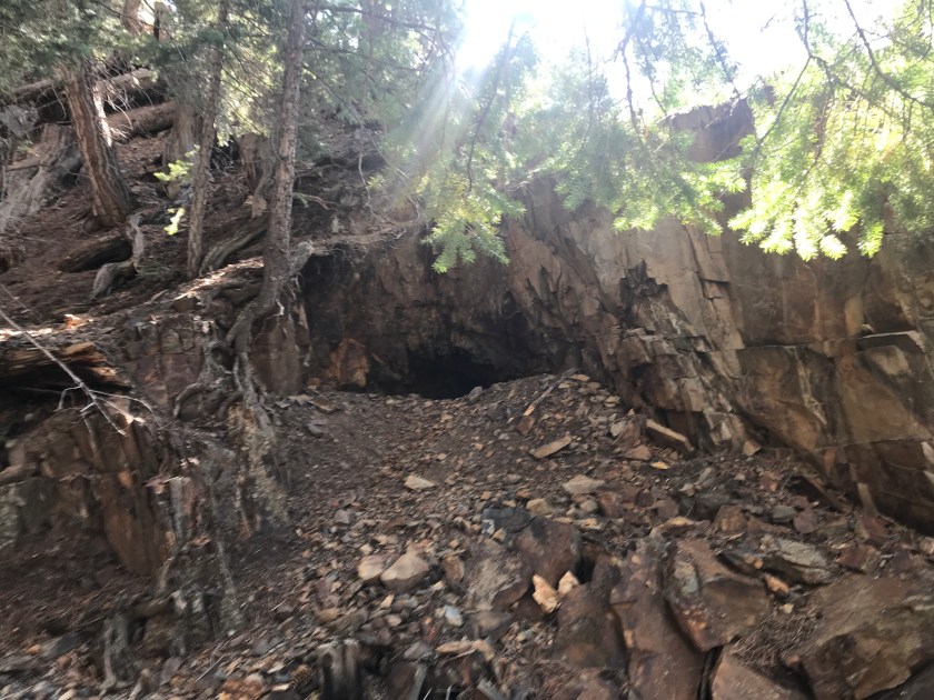
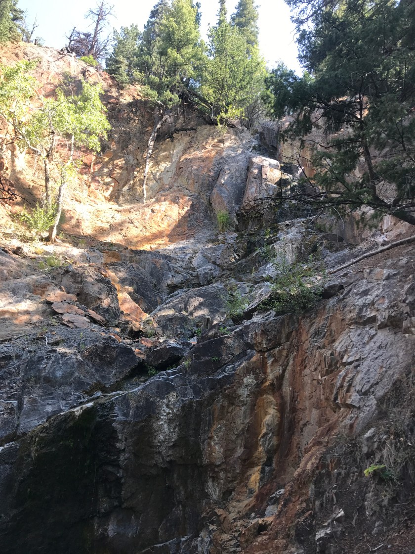
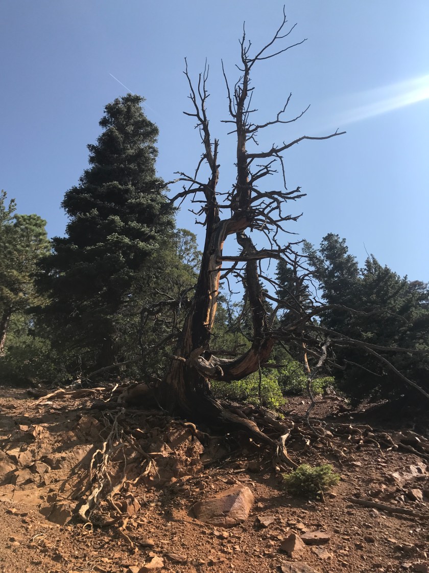
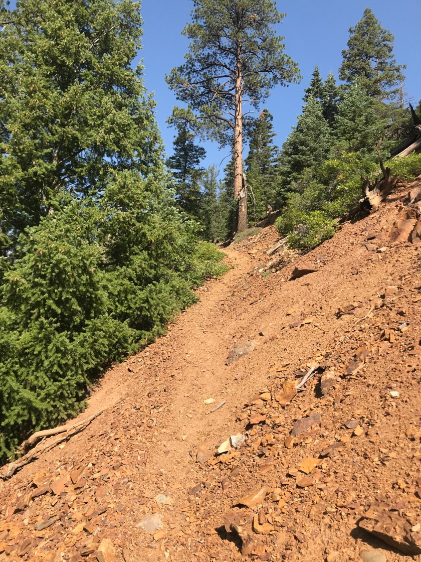
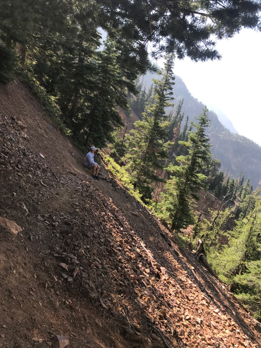
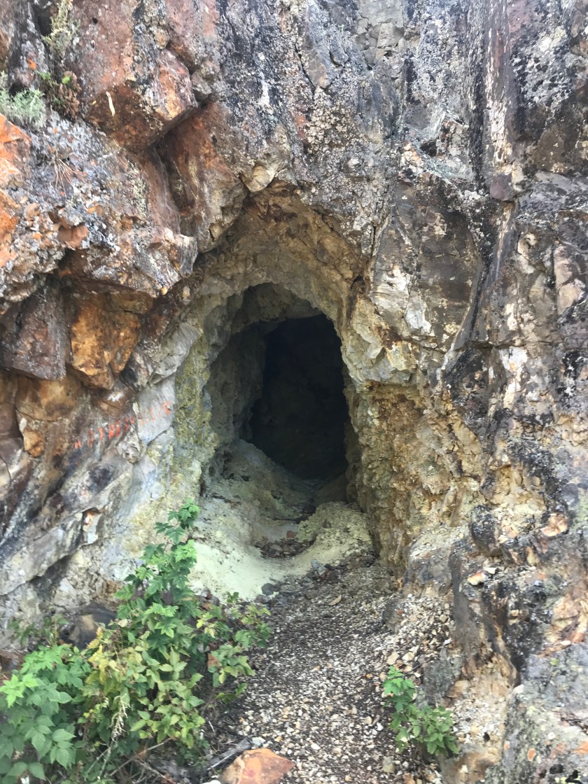
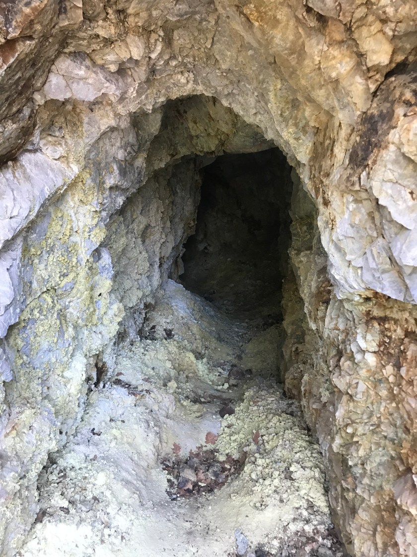
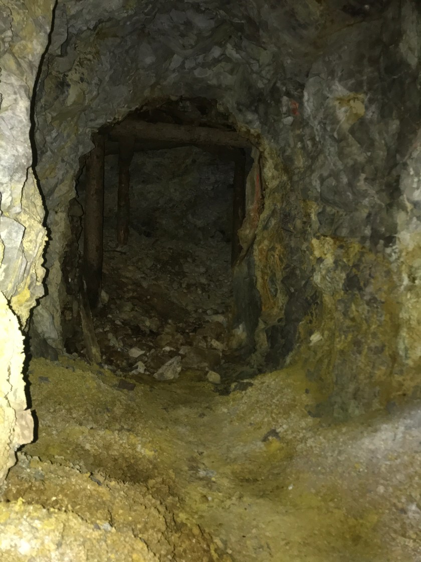
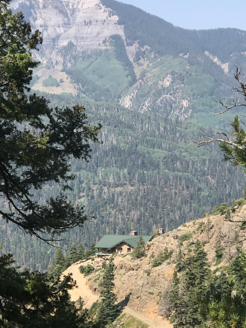
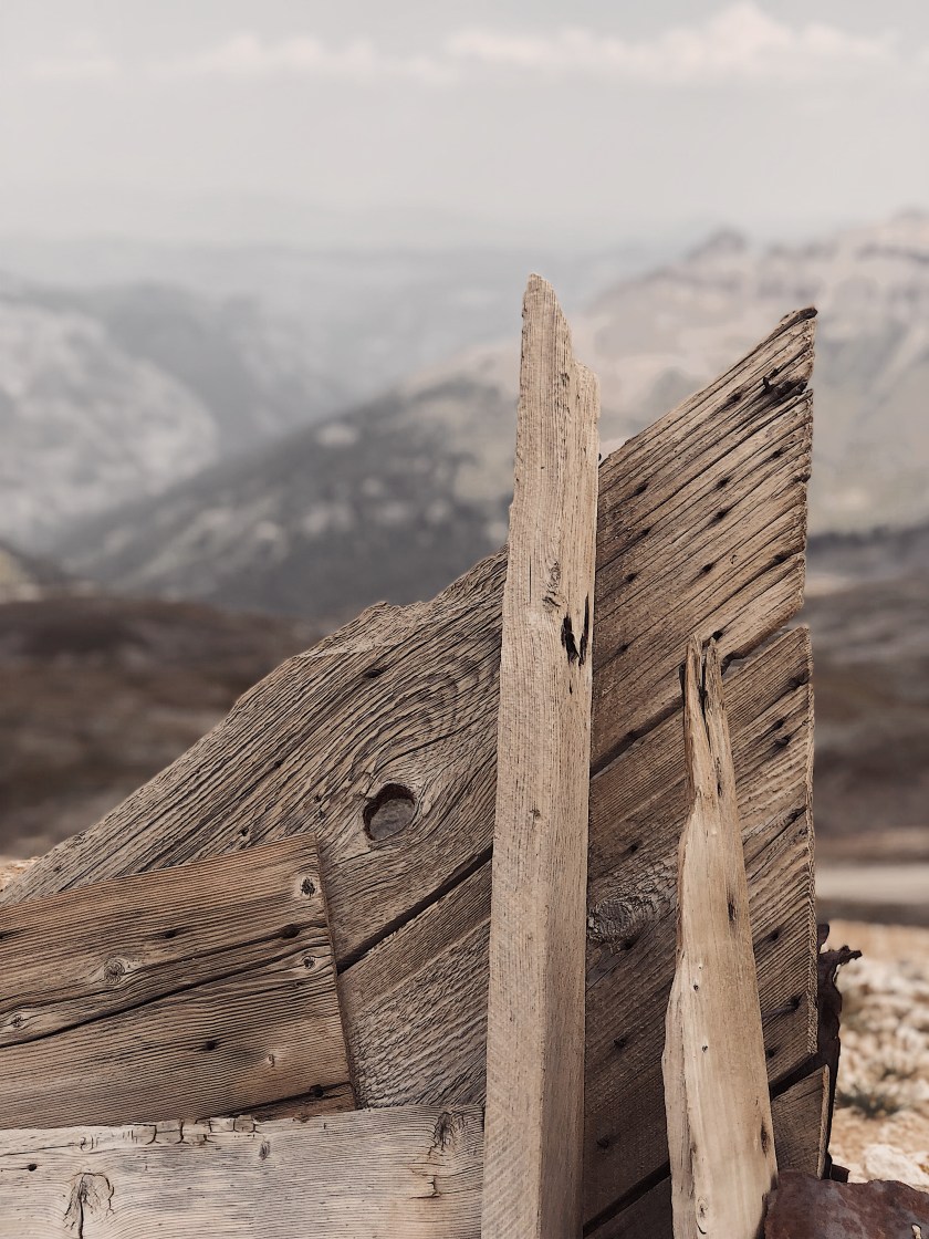
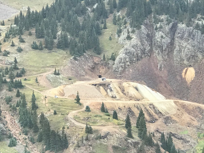
The gravel road to the pass is called Engineer Pass Road or Ouray County Road 18. The road is difficult and it’s a nightmare in the wet or dark (or both). This trail, combined with Cinnamon Pass, constitutes the famous Alpine Loop. Some of the highlights of this trail are the many mines, ghost towns, waterfalls, fishing and incredible views. It is an exhilarating trip for drivers of all experience levels. There are many mines and points of historical interest along the route.
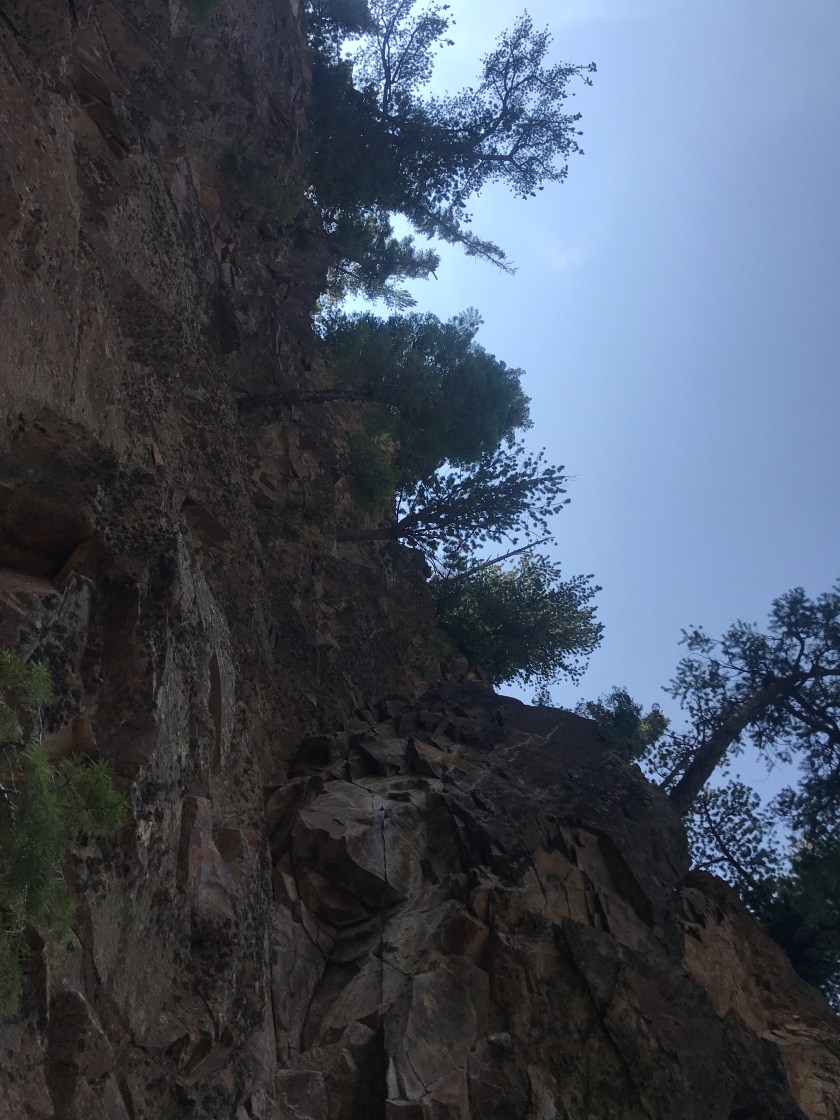
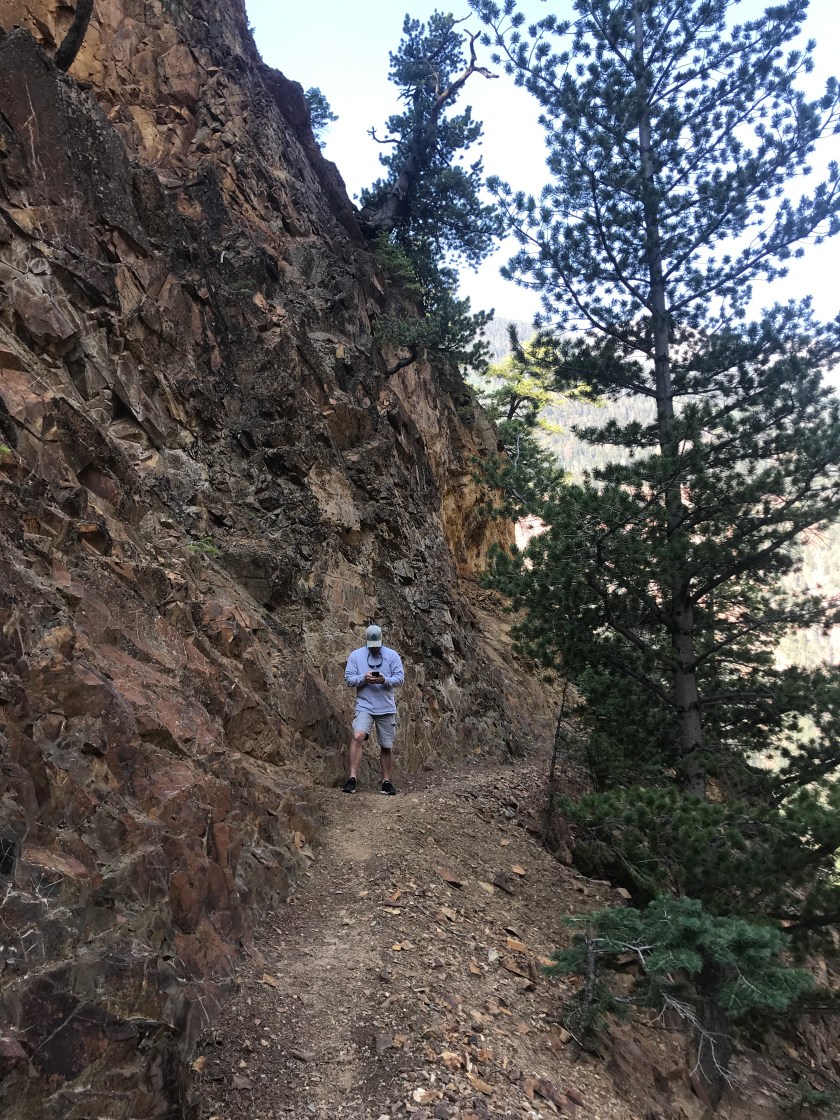
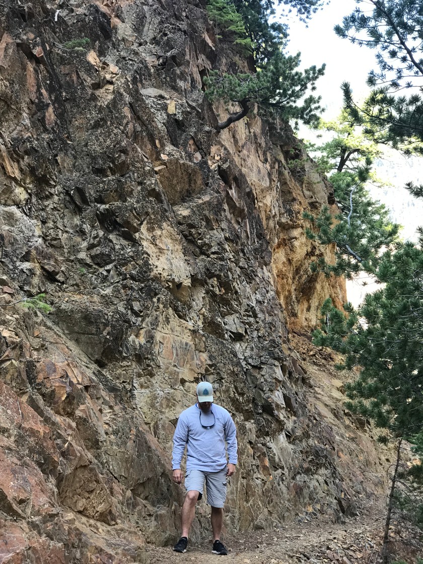
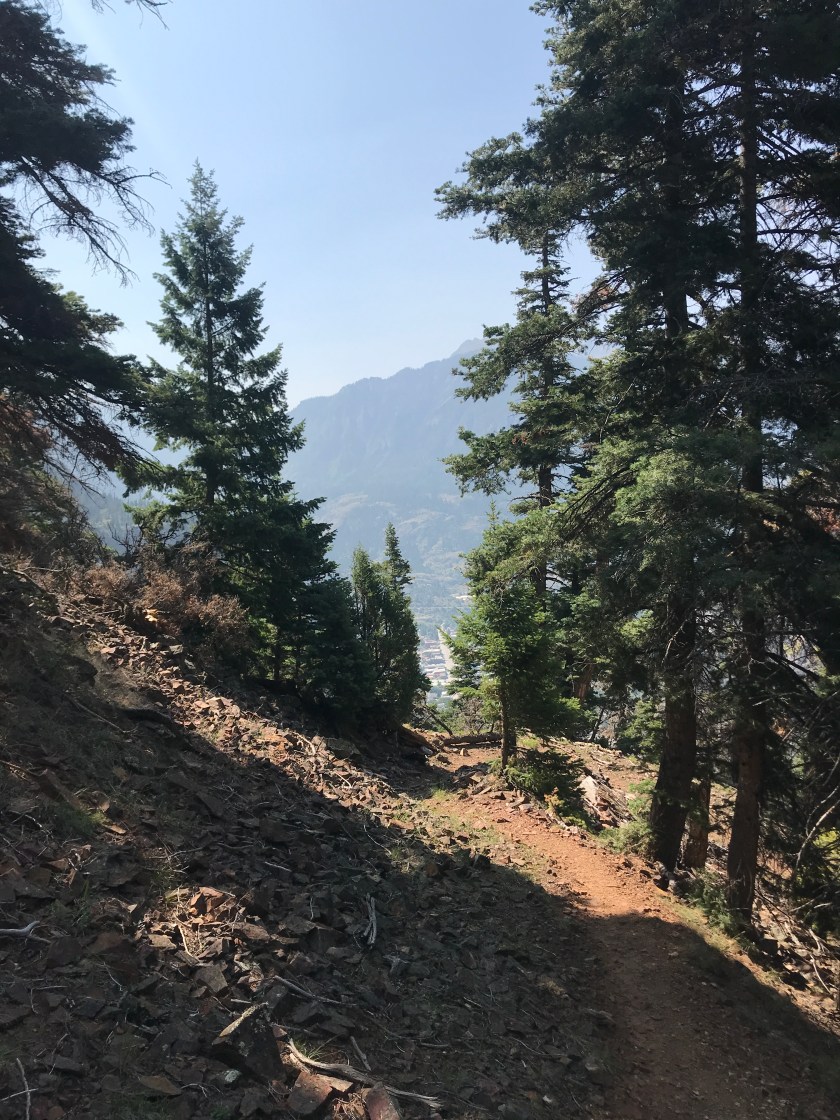
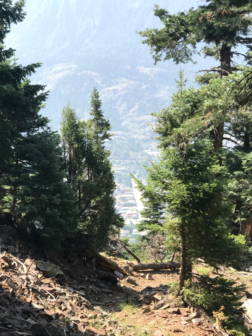
Located in Ouray County, the road to the top is recommended for high clearance four wheel drive short wheel base, and is really too narrow for a 4WD pickup truck. Most of the route is easy, but there are still a few narrow, steep places on the west side of the pass that will get your attention. The Russian born engineer Otto Mears famous for his construction of the Million Dollar Highway connecting Silverton to Ouray is also credited for building the road known as Engineer Pass. Completed after 1877 this toll road was a major route connecting Silverton, Animas Forks, Ouray and Lake City together.

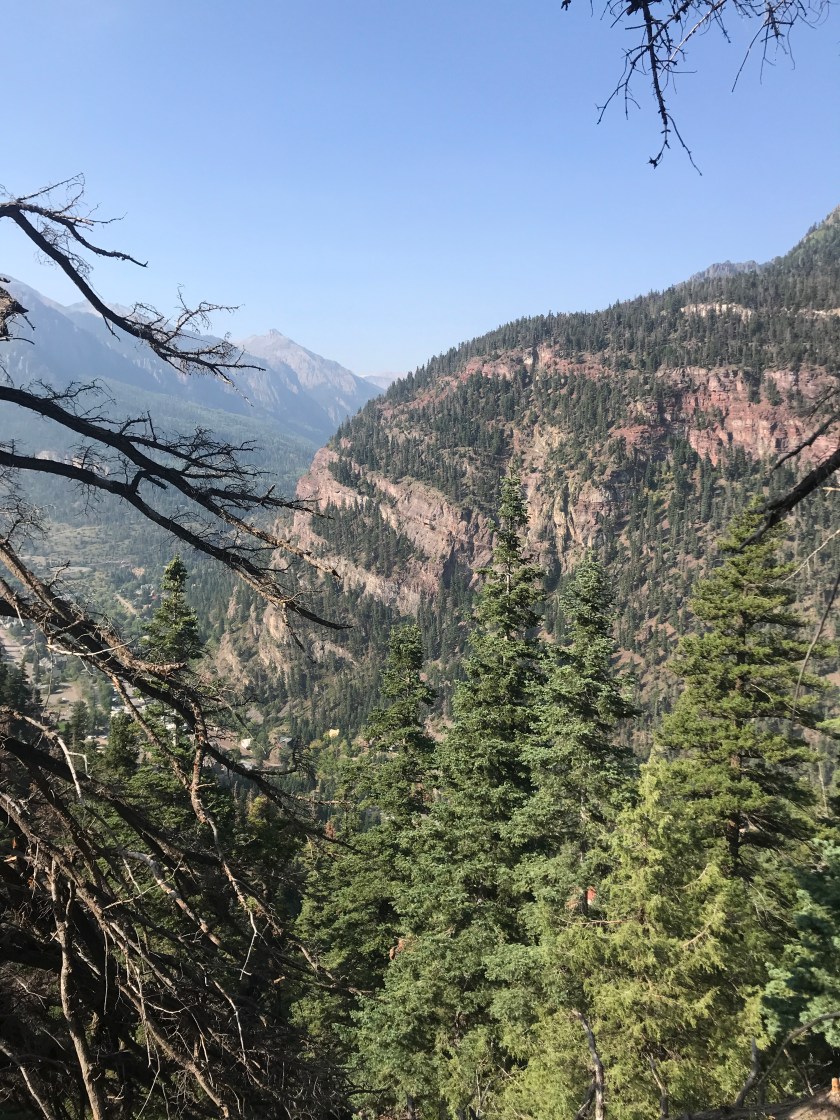
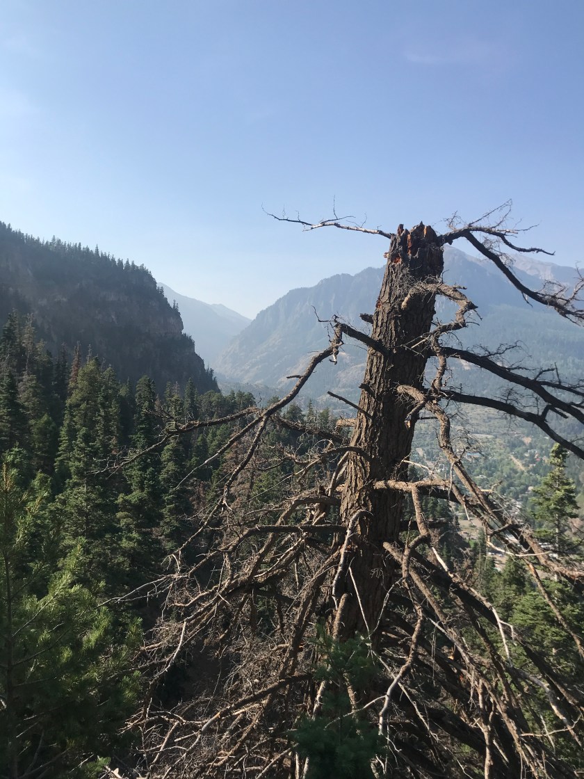
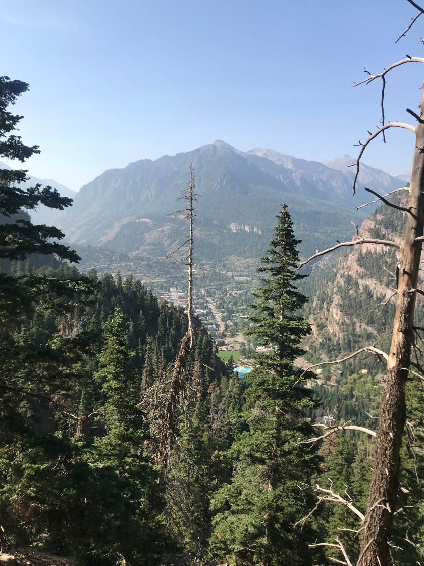
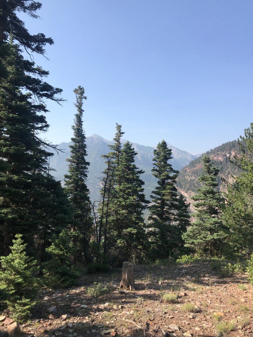
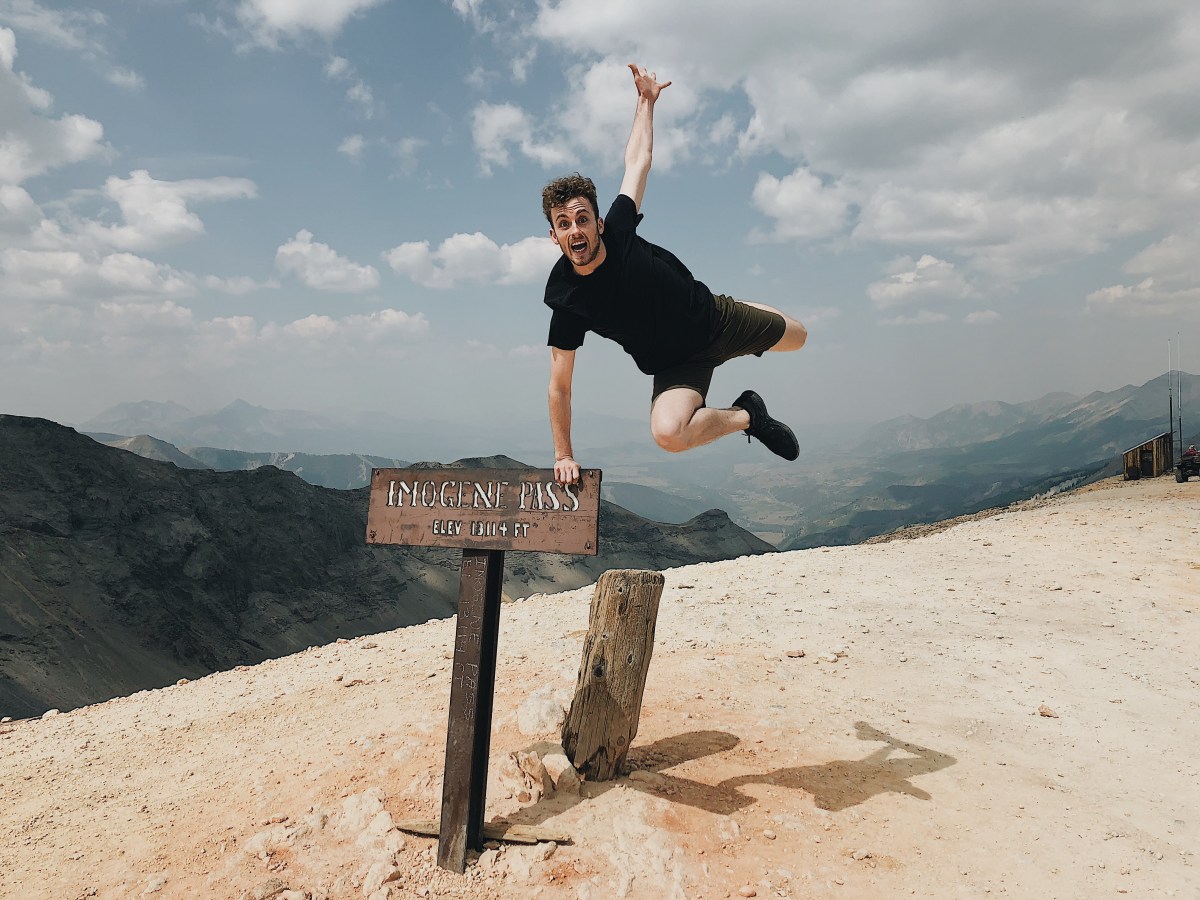
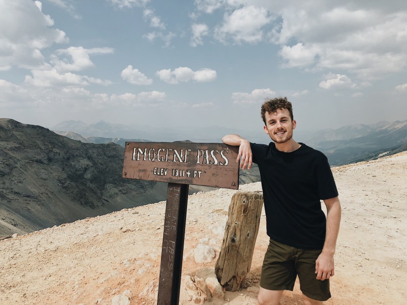
It was another great day Jeeping in Colorado.


8/21/18 Today we did Blackbear Pass and Imogene Pass.

Brad , Courtney and Jeff did Blackbear and Imogene today. Hear is a little info for both.

Video to come on YouTube later.

Black Bear Pass is a high mountain pass at an elevation of 3.910 m (12,840ft) above the sea level, located in Colorado, USA. The road to the summit is called Black Bear Road, a dangerous dirt track. This jeep trail, officially called Forest Service Road 648, starts at an elevation of 11,018-foot (3,358 m) above the sea level, and ends in Telluride, Colorado. It’s one of the highest mountain roads of Colorado.

Beyond the Black Bear Pass, the road is a collection of infamous switchbacks going to Telluride. This road, which passes Bridal Veil Falls, the highest waterfall in Colorado, is open just some months, from late summer (usually the last week of July) to early fall, and it can be closed anytime when the access is not cleared of snow. Do not travel this pass in severe weather conditions. Avalanches, heavy snowfalls and landslides can occur anytime, being extremely dangerous due to frequent patches of ice. It has a well-deserved reputation for being dangerous because of unpredictable snowstorms and blizzards, and driving under these conditions, can be extremely dangerous.

Imogene Pass is the second highest drivable pass in Colorado. The drive is one of the most thrilling in the state. At Savage Basin, you’ll pass through Tomboy Townsite, once one of most active mining towns in Colorado. A great deal of mining debris is still scattered about. Most is on private property and is dangerous to explore. The pass is blocked by snow until it is plowed, usually in early July. Unlicensed vehicles are not permitted on lower half of south side and must start trail from Camp Bird Road, where plenty of parking is available. High Point 13,114 ft., Best time to go: Mid July-Sept. Located in Uncompahgre National Forest. Do not take this trip lightly. The road is rocky, steep and narrow in places and passing can be dangerous. Stock SUVs should have low-range gearing, 4-wheel drive, high clearance and skid plates. Experienced drivers only

8/20/18 Brad and Jeff climb Old Horsethief Trail.

From the trailhead, the trail climbs to a crossing of Skyrocket Creek, switchbacks up talus slopes, crosses the “blowout” and Bridalveil Creek,and then passes near the Wanakah, Johnathan, Schofield and American Nettie mines on “Gold Hill” while climbing to an intersection with the new Horsethief trail a bit below the Bridge of Heaven. It is 2.8 miles from the trailhead to the intersection. There are tremendous views back down into Ouray and down the valley from this great trail, which has a history dating back to the earliest days of Ouray.3A58EF31-4DED-45A5-864F-D85DB027B8C392A3E6B6-6495-47C9-872C-6A198DD7EF7CF80361D7-EE78-49A3-804E-2E1E3C7F4643CA597E52-753C-4E15-9720-9A50BE8ABA7B24A2E399-8ABF-4F5B-84B8-384EF6B679BD846DA1FF-3DDA-4237-A8AC-EB86338A1614E222E40C-FCDD-4B83-B844-7E826CE659D2B22C86FC-AA52-4CB2-9FBC-7A7A9599BC05192C68DD-A570-4969-8B88-0FC621961E97301BFCB4-9D76-4F2B-997D-E140EF85CC70C6079EAD-BF54-496E-B9C9-127AB2CF2390013D9031-CF10-428E-85C5-219F15BA8AD4EE88B4B1-870B-4541-877B-A3EB20620AA4AFD5051E-66CB-4552-A7F2-F35C31E5C51459D98E07-9235-4CBB-A372-96508F51A946CFC82189-E26B-491D-B3F0-42E02F0CDE080A90FE95-A2B1-4FC6-9C9C-B19CD76D198F03F1572B-D491-4036-B96A-34A6B2DBBEAE97C401B1-2073-4C1E-89BE-61D5F6E311682781C8C6-ED16-481E-BA79-1595C814FC8E2790D380-422B-4765-9393-CCCDE39079E9CF310265-1CE5-4D96-8194-2F162510C4645D334519-D37C-4B7B-A604-08C4333EFB6B4DB6D046-7CFF-4CD1-8D72-ACB0FF776521D6C649D5-FDCD-4F13-843A-D374675A78AE62A14201-BFBE-4564-B24A-2C02E41E24BB1137BFED-F26E-4331-8929-7EE89836C5390CEDC078-31E2-4625-8DD5-AE3C8C38D670A53F0CB4-0046-4020-8112-73137EC3F4AA13A0FBBF-978F-4AA5-ACD7-2B4A333CB2BCBA87A334-E9E4-4257-B461-774FEDF202CBB957C65A-9FCC-4FB4-AF06-C0FE503DE26E0F1EFC04-5CB4-4682-BB01-40A7B4A0657A122379E4-2D88-4DA3-95A7-045AB532C74FBAE1B8EA-C2BA-4C5F-958F-D8D67A73194DF39B82C5-4034-47D0-8EDC-379DD70255D8089E0A1E-1F7D-4541-8A9C-DA7516CB5ED1DDABB318-2AB9-4008-A191-F847E5B60BE6A34F8657-03DB-46AE-9082-A2852B6D296F338E86C1-0BBA-42EE-B978-D090F85A591EFF20F952-ABB5-49F4-9C10-7D1164A16005A0CB7A32-E5A9-4738-9D81-5142D5487AF23AD62CA4-4558-4D87-A606-417598655D5ED122BBCB-FC4F-4468-BD18-3C7A15B8CF40753A7C79-B50A-47F7-9C52-E2D6ECBAAECED4224C96-D34E-4045-95CC-0F66D6C55902C2244A23-90FD-4EB3-9752-CC5ADFA8AE9CB8E87C9B-569E-488F-B4F6-24E831B92B55F707A357-7BF2-4C45-84CA-1D839500A210DA576A33-F13A-477B-985B-FAA27F9D6DE974070B51-7585-4A57-BA84-1F6696E4A6DB857A3DF9-C62C-440E-B8EE-46839F28F31091DBABB9-D6C6-492C-A5A6-9F724AC79ED850E22749-3BAD-4494-8342-0616A147B4A9F502F2DE-38D8-4F87-B7B7-5C01AAC33E4B34D5C1E7-B23F-4EB7-AAE2-933C4551F7791E4E73AC-51E1-4A2B-A6FD-60ACEDC52053155A9363-573C-46A8-A662-98900F283987E4DE2DB0-49AE-434D-B6D4-0E548DFF59516CA519AA-1C29-49B6-A8CF-583CBA4A74846FED41EC-3CBC-4577-8D69-F6E958BCBCEB50300F9A-6B23-443F-86AA-46CA363EDFFADCF2C002-7925-44FB-B3F0-BEB3945B44EB7F2B802F-EE8C-4CC9-A2AB-1EA050A3F3C6

7FE5989A-4646-4109-A758-404124166E81

4E1D26B0-BB23-44C8-B1B6-925D738861B85FA0245F-647D-4144-B43D-E8D5E7AB81F1

8/19/18 Brad and Courtney finally made it to Ouray.

After their flight was canceled to Montrose and a 3 hour delay to Durago, Brad and Courtney made it to Colorado. They got to spend almost 14 hours at the DFW airport before taking off for Durango but made it in around 10:30. Then the 2 hour drive to Ouray.

After a few hours of sleep we hit the Jeep trails.

Yankee Girl mine, Tomboy mine and Governor basin. Lots of waterfalls and lots of steep drop-offs. They also realized the high altitudes made it hard to breathe.

We had a great day on the trails.

August 12 – 16th Tyler’s Visit

Tyler’s been here two days and it’s going by too fast.  Tyler and I enjoyed Ouray, Ridgway and Montrose yesterday.  He and Jeff took a trip up to Imogene Pass today.   Enjoy the pics!!!


He is so handsome!!Processed with VSCO with a6 presetProcessed with VSCO with m5 presetIMG_5912IMG_4185IMG_4760IMG_5245IMG_3608IMG_2663IMG_1708IMG_3085IMG_2647IMG_1524IMG_1921IMG_0683 3IMG_0691Processed with VSCO with hb2 presetProcessed with VSCO with g3 presetProcessed with VSCO with a6 presetProcessed with VSCO with c1 preset


My handsome hubby!!Processed with VSCO with a4 presetProcessed with VSCO with g3 presetProcessed with VSCO with a6 presetProcessed with VSCO with m3 presetProcessed with VSCO with c1 presetProcessed with VSCO with hb2 preset

Mailbox up on the top of Imogene Pass. Processed with VSCO with hb2 presetProcessed with VSCO with a6 presetIMG_1213IMG_1398Processed with VSCO with a6 presetProcessed with VSCO with dog3 presetProcessed with VSCO with a6 presetProcessed with VSCO with a6 presetProcessed with VSCO with c1 presetProcessed with VSCO with m5 presetProcessed with VSCO with dog1 presetProcessed with VSCO with a4 presetProcessed with VSCO with a6 presetProcessed with VSCO with a6 presetIMG_3457

Tyler in Ouray petting a shop dog, Paco.  Tyler loves dogs!! He always has.IMG_0669


Processed with VSCO with a4 presetProcessed with VSCO with a4 presetProcessed with VSCO with a4 preset

Sidna & Mikaelin’s Visit — July 24-July 30

We had such a wonderful visit with these two cuties.  The pictures tell what an amazing time we had and we can’t wait to see them again.  Events of the week:

–Rode up to over 13,000 feet elevation on Imogene Pass and saw SNOW!

–Played Mexican Train a million times.

–Visited Telluride and rode the gondola.

–Soaked in the Ouray Hot Springs

–Climbed up to Cascade Falls and Box Canon Falls

–Loved on Scooter lots!

I would say it was an eventful week.

**Sorry for the delay in posting.  Scooter is keeping us busy.